Saturday – August 23, 2014 64 degrees & mostly cloudy
It rained last night and large menacing clouds hung low in the sky when we awoke. Today we planned to have a ‘down day’ so we had a leisurely breakfast in the hotel in Rapid City. Jeff had read about a local attraction called The Petrified Forest of the Black Hills which, according to Trip Advisor, was worth seeing.
 Trail in the Petrified Forest
We plotted a course on the cell phone and twenty minutes later we were driving up a steep hill off a back road behind campers and cabins. There was a small admission charge which included a twenty minute video, the small museum, and a self-directed trail guide.
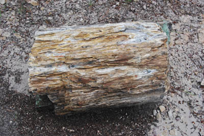 Section of a Petrified Log
Numbers on the guide identified significant pieces of petrified logs along the trail. The forest had existed in this location millions of years ago and the petrified wood was discovered during the 1920s. From a distance, they resembled huge rocks because most of the trees had been over one hundred feet tall.
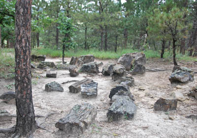 Scattered Logs
 More Petrified Logs
My photographs really do not do justice to the park and we actually enjoyed the visit. The video was excellent and explained rock formations in this part of the world. Hiking on the trail through the cedar and pine forest also was great fun.
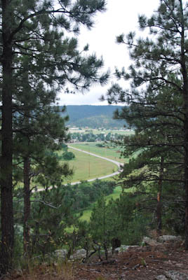 View Across the Valley
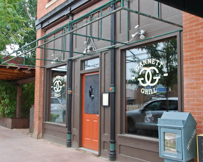
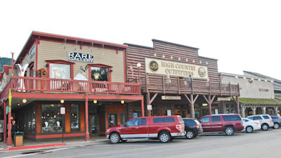
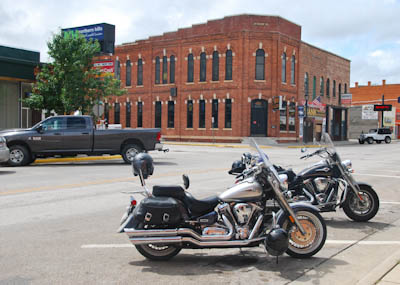
Our next stop was Sturgis, South Dakota, Harley Davidson motorcycle Mecca. Although Jeff kept saying I was the one who wanted to go to this famous town, I think he was curious too. Fortunately, we missed the annual rally which happened earlier in the month.
 Sign Across Main Street in Sturgis
 Tacky Main Street
 Store Sign
What did we do in bike heaven? We walked around, did a little window shopping, admired the motorcycles that rumbled down Main Street, and bought a couple of T-shirts.
 T-Shirt Store
 Inside a T-Shirt Store
 Photo of the Crowd During Rally Week
 The Bank Saloon
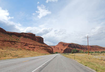
We pulled ourselves away from Sturgis and drove to Deadwood, South Dakota which was a short ride away. Named after dead trees found nearby, the city has a National Historic District which had sounded interesting. Deadwood gained notoriety as a wild and lawless place and attracted gamblers and prostitutes during the ‘Wild West’ of the late 1800s. The graves of Wild Bill Hickok and Calamity Jane are in the local Mount Moriah Cemetery.
 Sign in Deadwood, SD
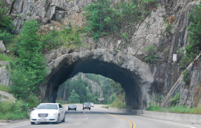
Caught in a long line of traffic as we approached Deadwood, we waited patiently. As we approached the town, we saw that Main Street was closed for an antique car rally and street fair. Loud rock ‘n’ roll music poured out from an entertainment tent and parking was impossible. We decided not to stop and continue on a quiet scenic road toward Mt. Rushmore.
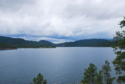 Pactola Dam & Reservoir
 Driving Into Keystone, SD
Keystone was the town located at the entrance to Mt. Rushmore National Monument. It had started to rain as we drove through. The town was full of tacky souvenir shops, fast food restaurants, cheap motels, fudge & ice-cream stands, and tourist families.
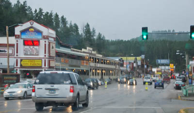 Main Street, Keystone
We continued up the hill and parked in a new parking lot. I had read about recent improvements to the facility including a modern visitor’s center. We donned our rain gear and walked toward the statues.
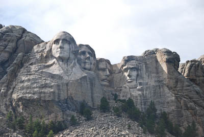
 Mt. Rushmore
 Presidents in the Rain
The presidents looked a little sad in the rain. Washington seemed to have tears running down his face and his nose was running. We stopped in the gift shop to see tacky presidential novelties. We were especially drawn to the plastic bobble-head Jeffersons. No wonder they were sad.
 Borglum’s Dream
By the time we left the shop, the sun was shining again so we took a few more photos. The light was better and the quartet looked much happier. Four hundred workers carved the faces onto the granite side of the mountain from 1927 -1939.
 Rain Clouds
By the time we returned to Rapid City SD, the sun came out and the storm clouds were moving away. One of the most amazing aspects of this trip has been the clouds. The land is so flat and the horizon is so vast that the sky is a huge 360 degree dome which surrounds a person offering great vistas of ever-changing clouds.
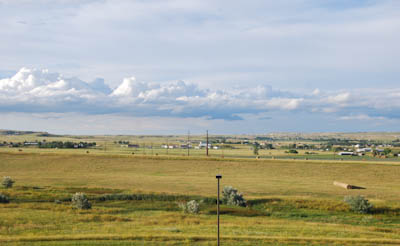 View of the Prairie From the Hotel Window
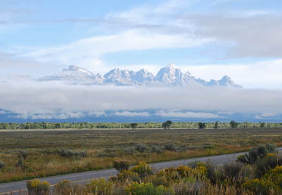 Grand Tetons in the Morning
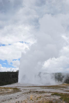 Old Faithful
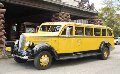 Yellowstone Bus
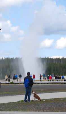 Beehive Geyser
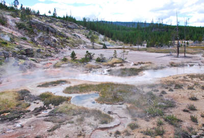 A Sulphur Pool
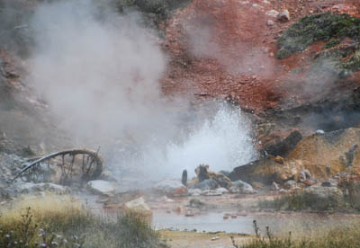 Tempest in a Teapot
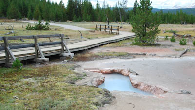 Hot Ground
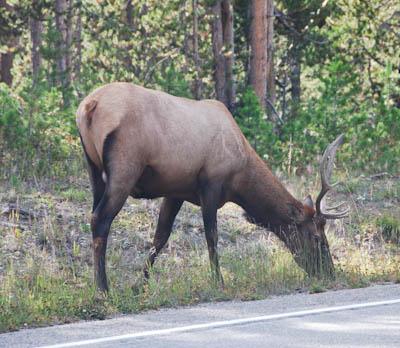 Elk by the Road
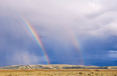 Double Rainbows
 Sunset Over the Tetons