Saturday – July 7, 2012
We stayed an extra day in Portland so we could explore the Columbia River and Mt. Hood areas. The Columbia River gorge is very beautiful with many natural vistas and opportunities for outdoor activities. We drove out of Portland and across the Burnside Avenue Bridge and followed Route 84/ Highway 30 East. We decided to go to Mt. Hood first and later explore more of the Columbia River, so we drove to the town of Hood River and then turned onto Route 35 toward Mt. Hood.
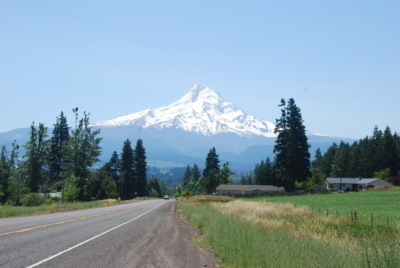 Mt. Hood From Route 35
 Cooperspur, Oregon
 Getting Closer to Mt. Hood
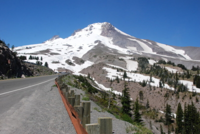 Approach Road to Mt. Hood
 Snowboarding in July
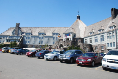 Timberline Lodge – 60 Miles East of Portland
If Timberline Lodge looks familiar, it’s because the exterior was used as the setting in the movie The Shining with Jack Nicholson. The interior of the lodge is entirely different than the scenes in the movie. This is a real hotel/lodge resort built in 1936 and popular among skiers and snowboarders. The Lodge is listed on the U.S. National Register of Historic Places.
 Main Entrance
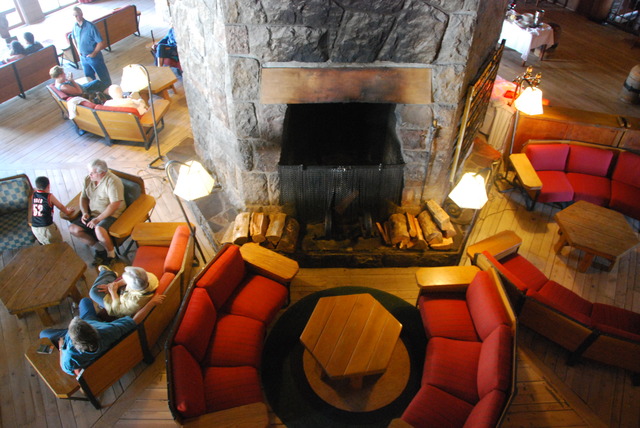 Interior of the Timberline Lodge
We walked around the three-floor lobby and explored the public spaces. Then we decided to have lunch in one of the dining rooms overlooking the valley and Mt. Johnson in the distance.
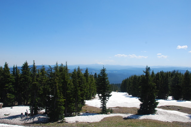 View to Mt. Johnson From the Lodge
After lunch, we drove back down the mountain to Route 26 going west. Then we drove through a town called Troutville which put us on a road called the Historic Columbia River Highway. This little 2-lane road goes along the river and offers gorgeous views of the Columbia River.
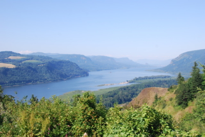 The Columbia River Looking East
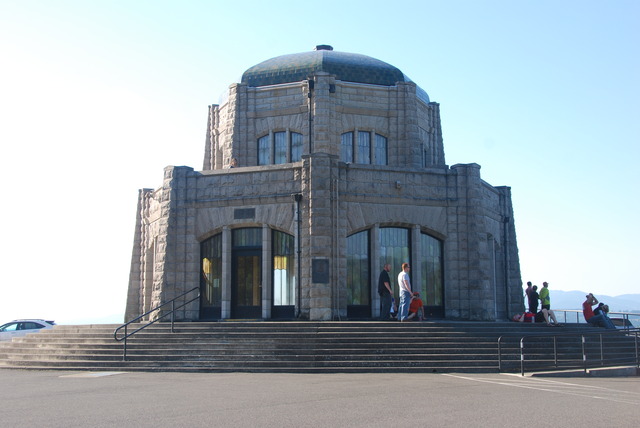 Vista House on Crown Point
 View From Crown Point Looking West
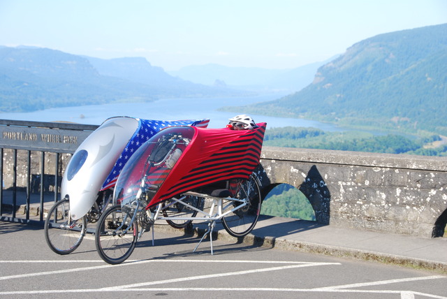 Bicycles Parked Near Vista House
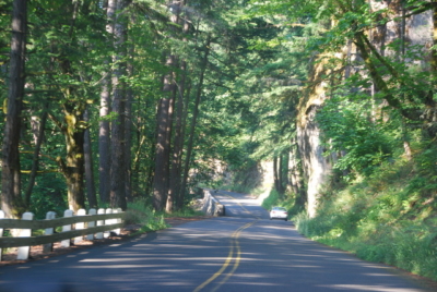 The Twisty Windy Scenic Historic Columbia River Highway
But Beautiful…..
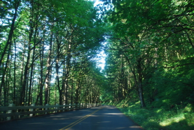 More Scenic Road
Along the Historic Columbia River Highway there are many famous impressive waterfalls. We stopped to take pictures at just two of them: Wahkeena and Multnomah Falls. There are 34 other waterfalls within a 20 mile radius. The Wahkeena Falls is 242 feet high and means “most beautiful” in the Yakama Native American language.
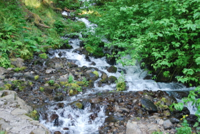 The Base of Wahkeena Falls
A little further east is the Multnomah Falls which has two levels with a pedestrian footbridge between the levels. The waterfall is an impressive 620 feet. One record states that Multnomah means “down river” in the Native language.
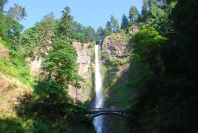 Top of Multnomah Falls
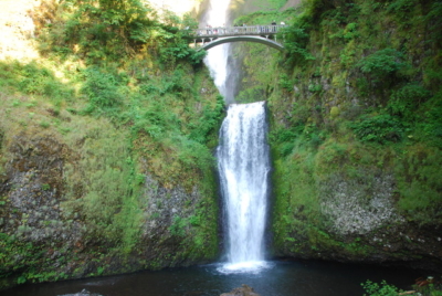 Bottom of Multnomah Falls
 Multnomah Lodge
The waterfall is behind the small Multnomah Lodge which was built in 1925 and is on the National Register of Historic Places. Since dinner was being served in the restaurant at the lodge, we decided to have their “grilled salmon” dinner.
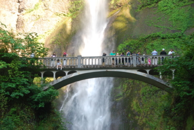 Multnomah Falls Footbridge
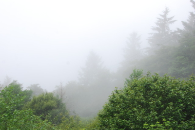
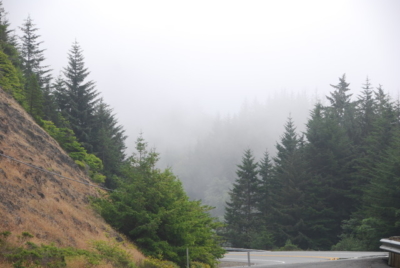
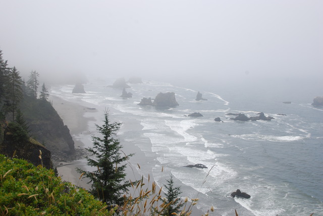
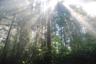 Sunlight Through the Coastal Fog
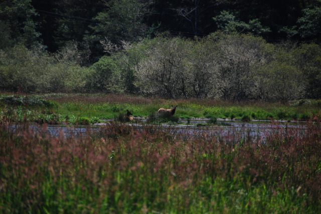
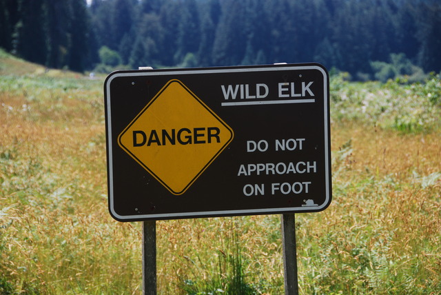 Looking For the Elk in the Meadow
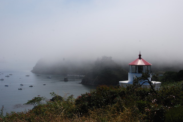 Lighthouse in Trinidad, California
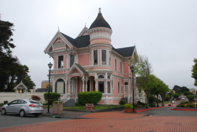
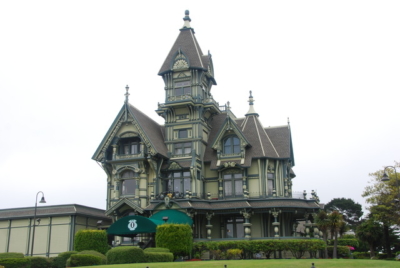 Most Photographed Victorian House in Eureka