Thursday December 15, 2016 Mostly cloudy, passing showers – 84 degrees
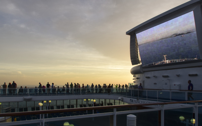
Today was the big day: crossing through the Panama Canal! An unintelligible announcement in the hall woke us up and we were out on deck (with hundreds of other people!) to watch the sun rise and the ship slowly approach land. The huge on-deck screen showed the ship’s web-cam from the bow.
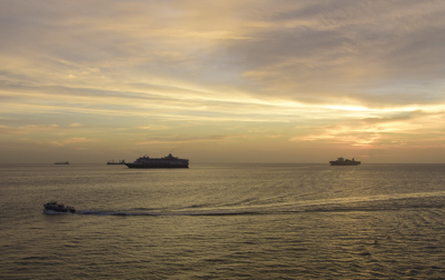
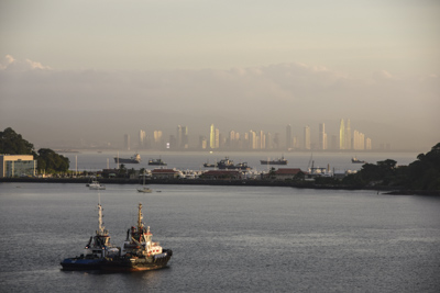
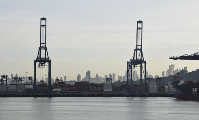
According to the “Princess Patter,” the ship’s daily newsletter, the Pilot and Canal Inspectors came aboard at 0542. Overnight, the seas around us had filled with countless drifting ships waiting their turns to enter the canal. As we slowly approached land, the most surprising sight was the modern sky-scraper-filled city of Panama which loomed to starboard out of the morning haze.
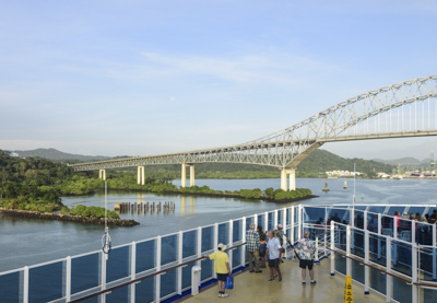
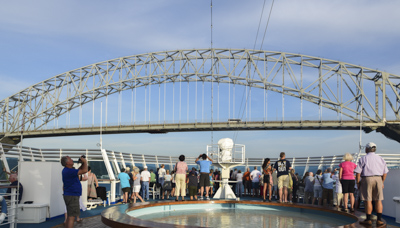
The Island Princess slowly approached our first landmark, Puente de las Americas – the Bridge of the Americas, which spans the Pacific entrance to the Panama Canal at Balbo. It was built in 1962 and until 2004 had been the only stationary bridge connecting North and South America. The bridge was part of the Pan-American Highway which runs from northern Alaska to Chile and Argentina.
A huge commercial port occupied the shoreline as we crawled toward the canal.
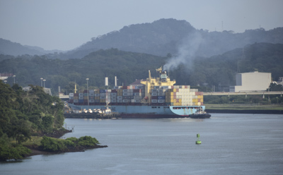
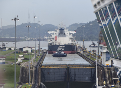
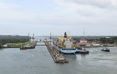
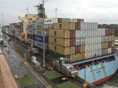
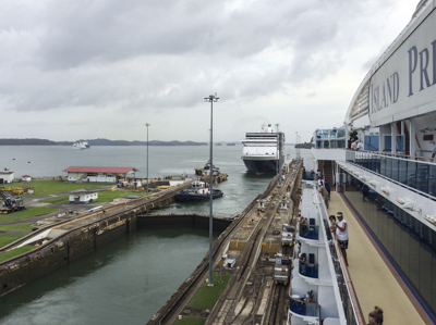
Our of the first view of the entrance to the canal was a large container ship, the Land-Sea Lightening, moving slowly into the first lock: Miraflores.
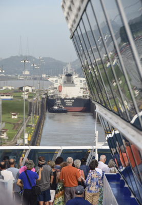
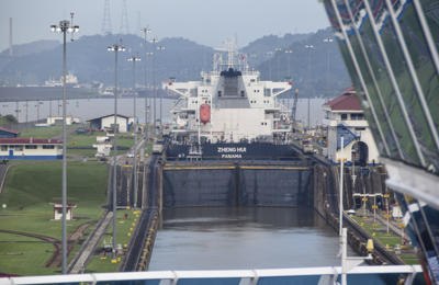
It’s incredible how all these huge ships can get so close to each other! The Island Princess inched her way into the first chamber of Miraflores lock right behind the commercial ship, Zheng Hui, and waited.
There are two chambers at Miraflores Locks and each is 110 feet wide and 1050 feet long. The gates closed behind the commercial vessel and very slowly the ship rose higher.
Finally, the gates in front of the Zheng Hui opened and she moved out of the chamber followed by one of the tugboats which had also been in the chamber.
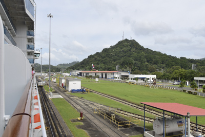
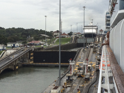
Meanwhile, the Island Princess was being raised 54 feet in the two chambers of the lock to elevate her from the level of the Pacific Ocean to the higher Miraflores Lake. The movement on the ship was almost imperceptible and the only way we knew we were being lifted was by looking at the stationary light poles and other structures on land.
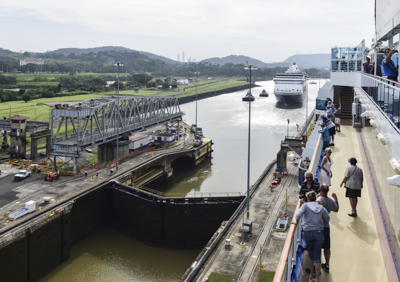
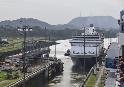
Meanwhile, another cruise ship, the Holland American Veendam, was behind us and gradually entered the other lock on our starboard side. Although all the ships were moving very slowly, there was a lot happening. We had fun moving around the ship and checking on the progress of all the ships entering and exiting the locks around us as our behemoth went up and down.
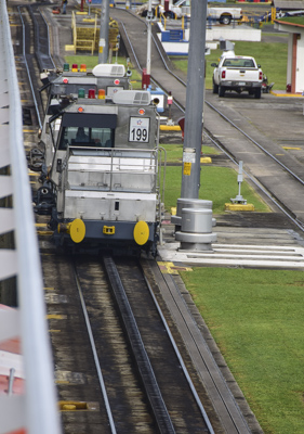
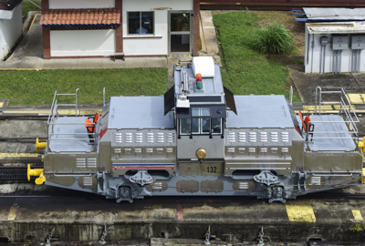
Ships move through the canal under their own power. Electric locomotive “Mule” engines which run on tracks on land, on each side of the ship, control lateral position inside the locks.
We easily passed through the Esclusas de Pedro Miguel which has a single chamber that raises ships an additional 31 feet.
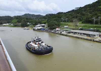
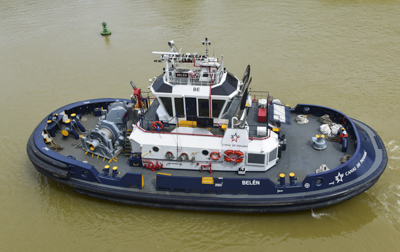
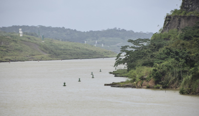
Well equipped tugboats surrounded our ship between locks: two on each side: fore and aft. They seemed to direct the Island Princess along the buoys and keep our ship from getting too close to shore.
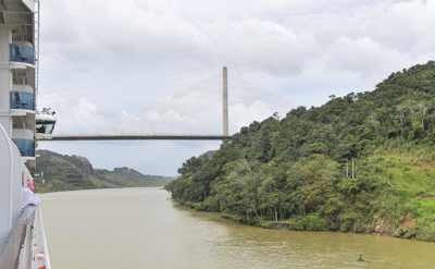
After the single stage Pedro Miguel Locks, we passed under the Centennial Bridge which marks the entrance to the Gaillard or Culebra Cut at the Continental Divide of the Americas. The bridge, completed in 2004, is the current route of the Pan-American Highway.
Culebra means ‘snake’ in Spanish and this winding section of the canal was the most difficult civil work during construction from 1903 to 1914. The United States completed the work using a ‘lock and dam’ concept and by solving mosquito-borne diseases in the region.
The United States spent $639 million dollars to build the canal. 28,000 people died out of 80,000 workers during construction due to yellow fever and malaria.
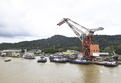
After about an hour, we passed Gamboa which is a small town used to house employees of the Panama Canal and their families. The photo above shows a repair facility for tugboats and other boats in the fleet.
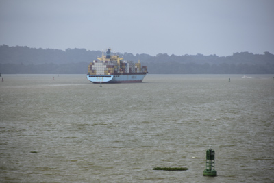
Then the waters opened up to the busy Lago Gatun. The lake is 85 feet above sea level and was artificially created in 1913 by damming the Chagres River. We followed the container ship, the Sea-Land Lightening, across the lake:
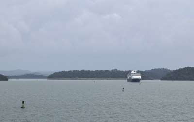
The Veendam followed us from buoy to buoy across Lago Gatun:
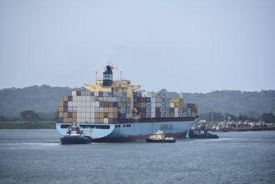
We caught up to the Sea-Land Lightening as she approached Gatun Locks which mark the end of the canal. The tugboats hovered around the container ship.
The Island Princess approached Gatun Locks on the port side, next to Land-Sea Lightening:
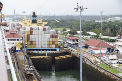
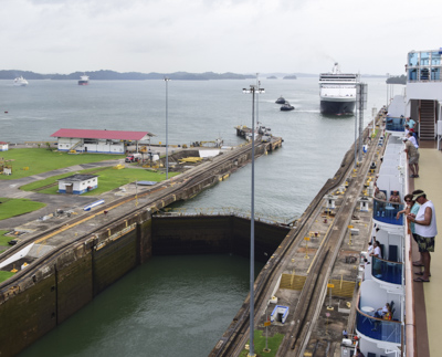
Gatun Lake is 85 feet above sea level. The double gates closed behind Land-Sea Lightening as she was lowered to Atlantic Ocean level.
Right behind us was the Veendam entering the locks on the starboard side while our ship was descending. There is a marked difference in water level in the three photos below:
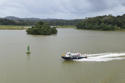
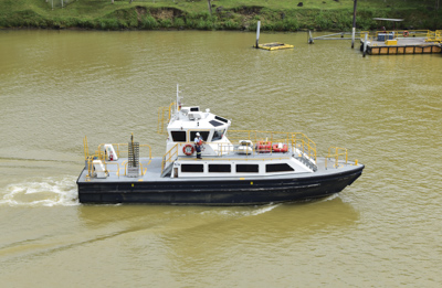
A pilot boat pulled up along side and I watched as 29 (I counted!) people disembarked from our ship and boarded the boat. I learned later these were the “inspectors” from the canal authority who stayed on board the cruise ship for the day, eating and relaxing as the ship drives through the canal. Sounds like a good ‘retirement job’ to me!
The Island Princess passed under the Bridge of the Americas this morning at 6:00am and we reached the end of the Panama Canal and departed Gatun Locks at 3:15pm. It took us nine hours and fifteen minutes to travel across the 48 miles which is the Panama Canal. Amazing!
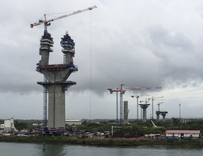
The photo above shows supports for a new bridge which is being built over the canal at the Atlantic entrance. If I ever return, it will probably be completed. It rained lightly as the ship departed Panama and head into open waters. I’d like to say the Island Princess “gunned it” and “let loose” on the Atlantic side after nine hours of crawling along, but at 19 knots an hour, she wasn’t exactly charging ahead. But it felt like it…..
