Wednesday – December 13, 2017
Happy Birthday to Jeff!! 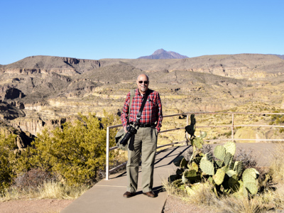
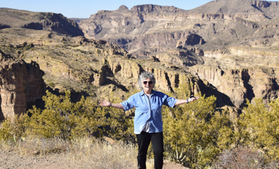
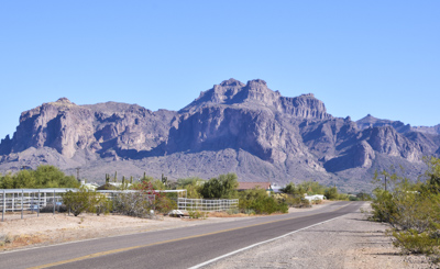
We wanted to look at the countryside and explore the desert surrounding Phoenix and Scottsdale. Jeff found a “scenic byway” called the Apache Trail, named for the Apache Indians who used the trail to cross Superstition Mountains. Later, the road became a stagecoach trail that ran through the mountains.
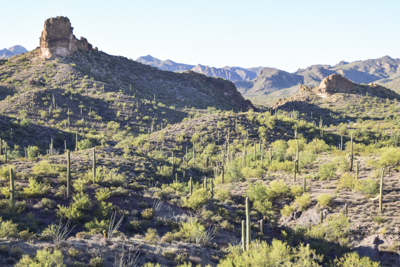
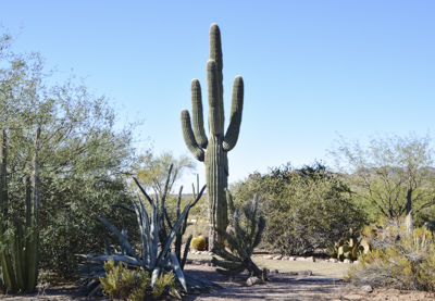
We were immediately intrigued by the large Saguaro cactuses which grow in this area. They are native in this region of the American Southwest and grow naturally only in the Arizona Sonoran Desert, Mexico, and southern California. Saguaro cactuses can grow to be 40 feet tall.
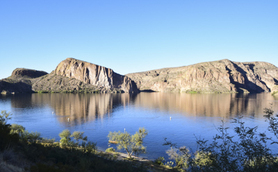
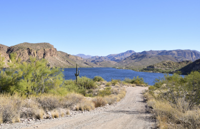
We continued to Canyon Lake in Tonto National Forest. It was strange to see water in the middle of a desert. I read that the lake was a fresh water reservoir formed by damming the Salt River in 1925. The landscape looked like it had not rained here in many months. It’s amazing that anything grows or lives here.
The Apache Trail winds through 40 miles of steep rugged desert mountains. The narrow twisting road is mostly unpaved east of the town of Tortilla Flat all the way to Roosevelt Dam.
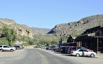
Tortilla Flat, Arizona is the last surviving stagecoach stop along the Apache Trail and has a population of 6 people. The town was originally a camp ground for prospectors who searched for gold in the Superstition Mountains.
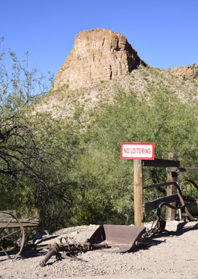
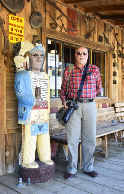
Today, the town is privately owned and includes a restaurant, souvenir shop, and a small museum. We continued on the Apache Trail for several miles along the unpaved section but after a while decided to turn around at Lower Fish Creek Hill because the road was too bumpy.
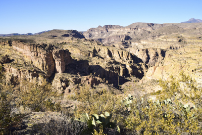
We stopped at several overlooks to take photos. It was an amazing day! We weren’t in Shrub Oak any more!