August 31st – Tuesday 19 degrees Celsius/66 degrees Fahrenheit
The sun was shining this morning with big gray & white clouds rolling by. Holland is so flat that the sky is huge, like a giant dome overhead, that spans from horizon to horizon.
We checked out of the modern Hampshire Hotel in Delft, after breakfast about 10:00 AM, and drove southeast toward Rotterdam. Our destination was Kinderdijk, which means “children’s dike” in Dutch. This is the place where there is the greatest concentration of windmills in all of Holland and they are accessible to tourists.
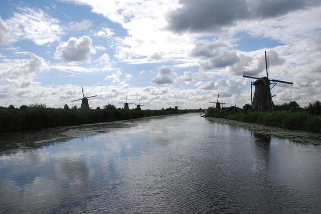 View of World Heritage Site: Kinderdijk
Kinderdijk is a small modern village just east of Rotterdam where a group of windmills were built to pump out sea water to protect the surrounding land from flooding.
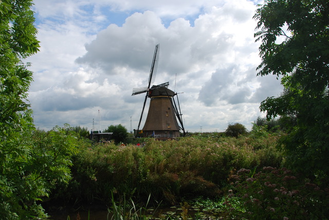
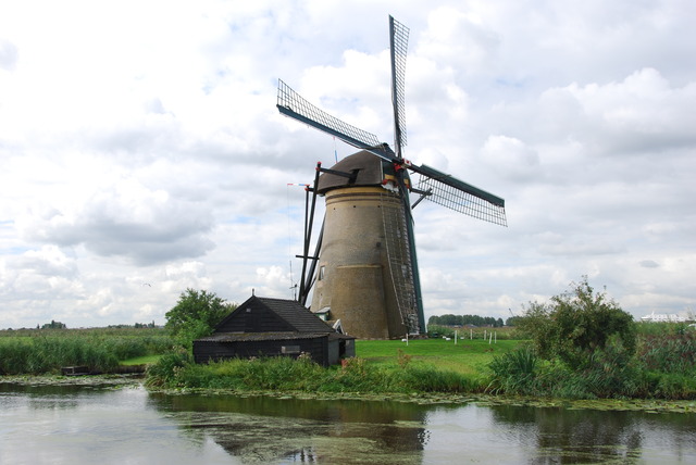 One of the Windmills Built in 1740
According to their brochure people dug the two canals “on their hands and knees” in 1366 to 1369 to discharge excess rain water. Windmills were later constructed to cope with rising water levels. The existing windmills were built between 1738 and 1740 to pump out the water. This is now a UNESCO World Heritage site because the area remains almost unchanged from its original state.
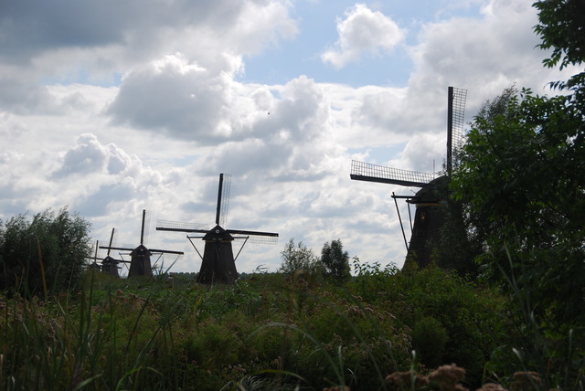
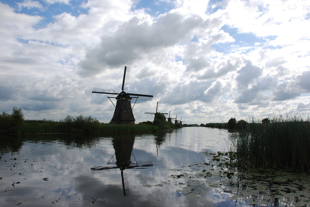
Nowadays, there are modern pumping stations have taken over the function that the windmills used to perform. Kinderdijk has 19 of the old windmills and they form “an impressive symbol of the struggle of the Dutch against the encroaching water.”
We walked up the canals and took lots of photos of the windmills. We had noticed big dark clouds rolling toward us and when we started to walk back to the car, it started to rain. We huddled under a linden tree along the canal with a group of tourists because it rained heavily.
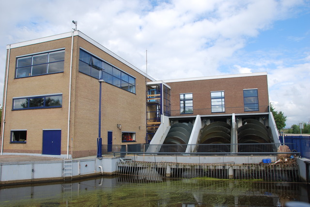
Modern Water Pump Station
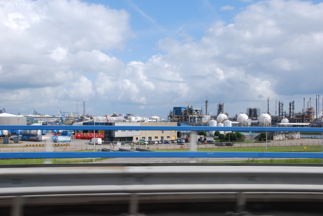
We were used the rain pattern of starts and stops, so when it let up a little we went back to the parking lot. We decided to drive east toward the coast of Holland to see what was there. We avoided Rotterdam because it’s supposed to be a huge shipping port and industrial city.
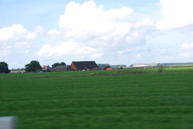
Near the Atlantic Ocean, we took the road which goes south through the flat farmlands along the coast. We drove through many many miles of flat farmland.
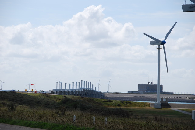
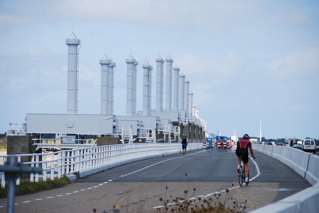
Our Michelin guide stated that there was a 3-star site along this road and we were curious. This was the Oosterscheldekering or in English the “Eastern Scheldt Storm Serge Barrier”. This is the largest of a series of 13 dams which were designed to protect the Netherlands from flooding.
We finally reached the Oosterscheldekering and we were amazed! It is 9 kilometers long and is described as one of the man-made construction wonders of the world. This is the modern structure which the Dutch use to control the Atlantic Ocean.
On our 15 year old map of Holland, there was a picture of a ferry which ran between the peninsula at the end of the road we were on, to the Dutch mainland near Belgium. We had thought that perhaps we might go to Bruges, Belgium (they call it Brugge) if there was time. We arrived at the ferry terminal, in the town of Vlissingen, at about 4:00 PM to discover that the ferry did NOT take cars: only people and bikes! Is there a lesson to be learned about travelling with old maps?! The new Michelin Guide also made no mention of the ferry. We took a break and had something to eat and drink at an outdoor snack bar and tried to plan what to do next.
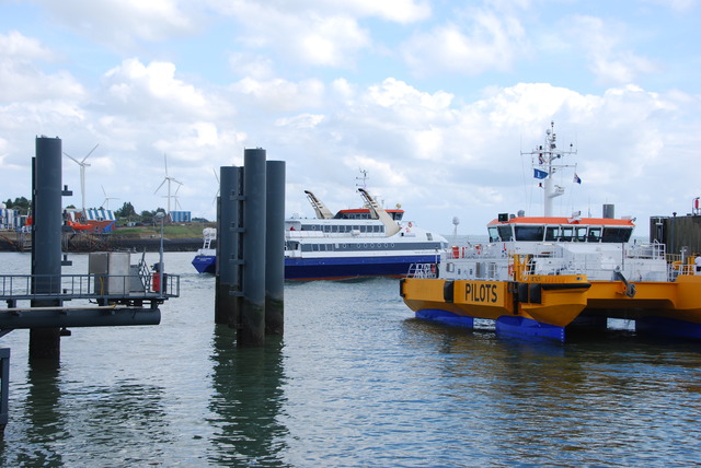 The People & Bike Ferry in Vlissingen, Holland
We were very discouraged because it was a long ride back to the mainland and around and out to Bruges, Belgium. I decided to ask at the ferry terminal if there was another ferry for cars which goes to the other side, otherwise it would have taken us many hours to drive around.
Chalk one up for the Dutch! What is more reliable and safer and quicker than a ferry? Answer: a tunnel! Of course! The woman at the ferry ticket office suggested the tunnel which was only 10 minutes away. This tunnel was NOT on our 15 year old map…..
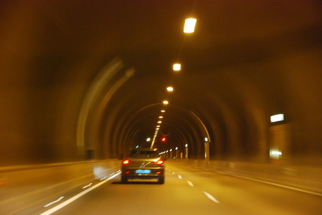
We breezed through the 6.6 kilometer tunnel which went under the water of the Westerschelde between the two peninsulas jutting out into the Atlantic Ocean. The tunnel ended in the town of Ternenzen, Holland. Then we followed the signs and road markers to Belgium.
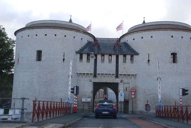 One of the Medieval Gates into Bruges, Belgium
We arrived in Bruges about 6:00 PM. We were tired, but happy that we had made it! Now all we had to do was find a hotel, relax, have dinner, and rest up after a long tiring day…..
