Friday – May 29, 2015
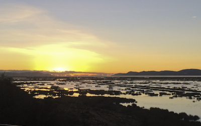
Lake Titicaca was a sacred place to the Incan people because they believed it was the birth place of the sun. The god Viracocha came out of the waters and created the sun, the stars, and the first people. As I watched the sun rise over the lake this morning, I could appreciate the mythology.
Today was our day to travel to Bolivia. The original plan was again thwarted by the miners’ strike so Marcos arranged for us to traverse the entire length of the lake (180 miles) from Puno, Peru to Huatajata, Bolivia by hydrofoil then take a bus to the capitol city: La Paz.
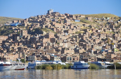
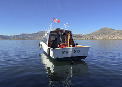
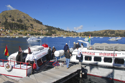
The air temperature was forty-two degrees in the morning when the group boarded two small power boats like the one pictured below. The boat drove toward the city of Puno on the other side of the bay and the captain stopped the engines. The water was calm and we drifted for about thirty minutes. I stepped out on the aft deck to take photos of Puno from the water. (photo above)
We had given our passports and papers to Marcos and we waited patiently for a Peruvian official as the boat continued to drift. We quietly watched as a middle-aged man in military uniform boarded our boat and went to the forward deck with Marcos to review our passports and clear us out of Peru. The customs inspector’s business took about fifteen minutes. Then he returned to his boat, our captain started the engines, and we were on our way. The hydrofoil flew a Bolivian flag, so we were officially in Bolivia!
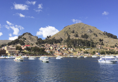
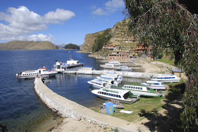
After several hours on the lake, we approached the lovely town of Copacabana. The hydrofoil tied up at the dock and we were allowed to step off. The dock belonged to the land-locked Bolivian Navy and we were warned NOT to take photos of the military base or our cameras would be confiscated. I didn’t take any photos of the two-story white stucco building which looked more like a boater’s clubhouse from the 1950’s. Two customs officers boarded our hydrofoil to check our passports and clear us into Bolivia. We were told there were long lines at other customs offices on the lake and this would be the easiest and quickest way to gain entry into the country. It certainly was interesting.
Back on the hydrofoil again, this time on our way to Isla del Sol for our first Bolivian lunch. There are no motor vehicles or paved roads on the hilly island which has been inhabited for four thousand years. The eight hundred families who live there today survive by farming, fishing, and tourism.
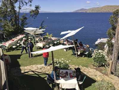
We climbed up steep stone steps to a tourist restaurant overlooking the blue lake. Tables had been set outdoors and we enjoyed trout, rice, and several different kinds of potatoes. Isla del Sol is the largest island on Lake Titicaca and regarded as the home of the supreme Inca god, Inti. There are many ancient ruins located on the island including a ‘fountain of youth.’ Unfortunately, we didn’t have time to stop there and check it out.
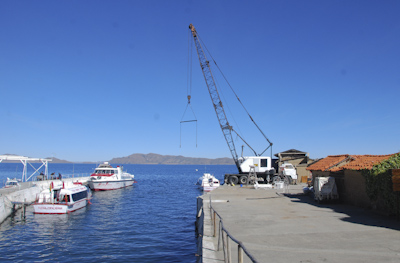
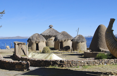
The hydrofoil continued through the narrow Straits of Tiquina and finally arrived in the town of Huatajata. Our boat tied up at the dock and we stepped off while the boatsmen handled our luggage. There was a boatyard crane on the cement pier and the Limachi family’s museum beyond.
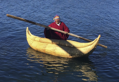
The museum shows how early Aymara people lived centuries ago. The Limachi family specialized in building ocean-going boats built from the lake reeds called ‘totora.’ The reeds on Lake Titicaca are similar to reeds on the Nile River and several explorers theorized ocean crossings on these boats. Limachi-built ships have successfully sailed across the Pacific, Atlantic, and Mediterranean Seas.
The reed ship, shaped like a Viking longboat, is locally called a ‘Thunupa’ after an Andean deity. The family patriarch, Demitrio Limachi, helped build the most famous reed boat, the Ra ll with Norwegian adventurer Thor Heyerdahl in 1970. One of the Limachi brothers, pictured below, came out to greet our boat.
After touring the museum and taking photos, we boarded a motor coach for the two-hour drive to Nuestra Señora de La Paz, the Bolivian capital.
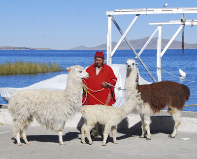
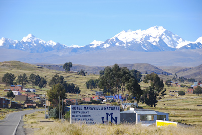
The Andes Mountains towered over the roadway as we traveled through the high plains of Bolivia. I had read about the thousands of llama and alpaca herds which roamed this region during ancient times and enticed the Incan king to invade the territory because he needed the animals for work and food for his growing empire. Manpower and llamas ultimately built the vast Incan Empire which covered almost the entire western coast of South America.
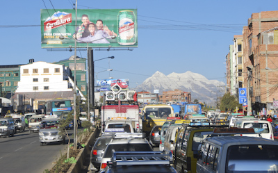
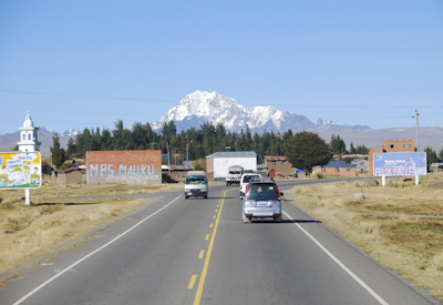 21,000′ Snow-covered Mt. Illimani
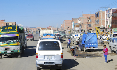
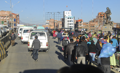
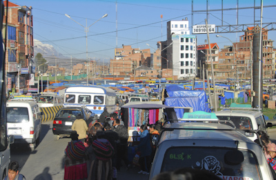
We were lucky to sit behind the driver and it was a very pleasant drive through the Altiplano (high plains) until we approached La Paz. As the traffic increased and red-clay buildings multiplied, I felt as if I was sitting in a movie theater looking out of the windshield screen at a human hive of activity.
We approached El Alta, or The Heights, which is a suburban city just outside La Paz, situated on the high plains at an altitude of 4000 meters (13,000 feet). This is the fastest growing urban center in Bolivia with a growing population of one million. Eighty-five percent of the people are Aymara and Quechua Amerindians. Our bus inched along in unbelievably heavy traffic teeming with vehicles and pedestrians threading their way along the main road. I had a bird’s eye view of the activity and was grateful that I wasn’t driving.
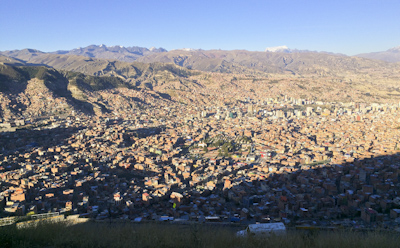
Eventually, we arrived in La Paz and our motor coach descended into the valley which comprises the highest administrative capital in the world. We stopped briefly at an overlook to see the city below. It’s only 3500 meters (11,500 feet) above sea level.
The city of La Paz filled the area between the mountains to look like a large bowl filled with red-clay buildings oozing their way up the sides. Another million people live in this bowl.
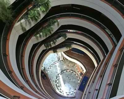
It had been a long day filled with many unusual sights and sounds and it was good to arrive at our hotel: the Camino Real Suites located in the Calacoto neighborhood of the city. This was supposed to be in the southern part of the city where the altitude was lower than the rest of La Paz, but at 3300 meters (11,000 ft) we were still ‘up in the air.’ I rested and looked forward to seeing more of the city tomorrow.
