Road Trip – Day 4: Thursday, March 31st
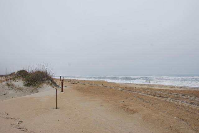
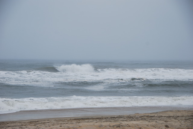
It was drizzling in the morning when we woke up. The wind had decreased, but it was gray, overcast, and foggy. I looked out at the raging sea and was glad that we weren’t camping near the beach. We checked out of the hotel and drove south along the Outer Banks roadway along miles of beach front houses. We were on our way to see “Kitty Hawk” which was the popular name for the place that Orville and Wilbur Wright made their famous first flight in 1903.
 Wright Brothers National Memorial Visitors Center
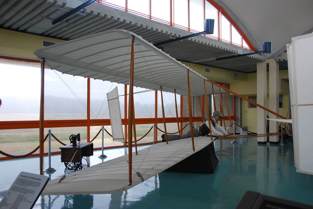
We turned onto the air field which is now the Wright Brothers National Memorial. Inside the visitors center are two replicas of the famous bi-planes and displays showing the tools and explaining how the Wright Brothers accomplished their historical flights. Orville made the first powered airplane flight in the world and officially started the quest to fly further, higher and faster.
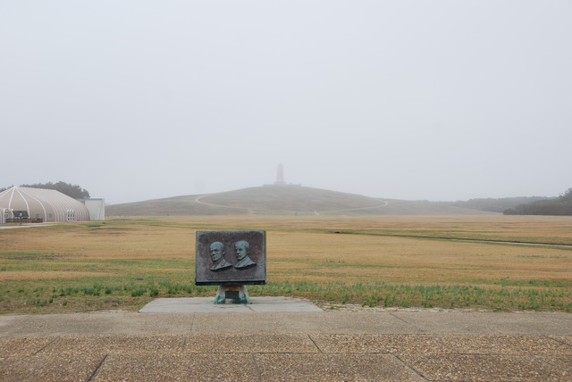
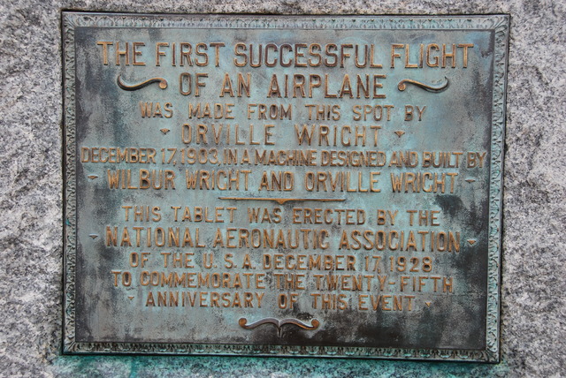
It had stopped raining and huge gray clouds were blowing by. Out on the grassy field there was a large stone marking the spot where the first four flights were launched from an iron rail. To the right of the stone were four smaller stones marking the spots where the flights landed. The first stone was a mere 120 feet away, but marked one of the greatest accomplishments of mankind.
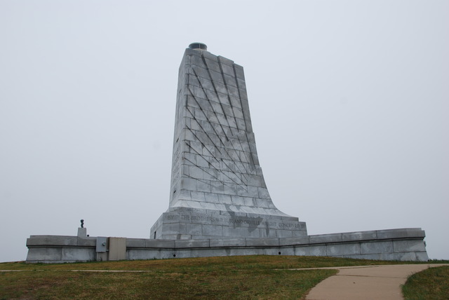
At the far end of the field was a huge stone monument to the Wright Brothers. It was built on top of Kil Devil Hill in the shape of a giant wing. The display made the point that the Wright Brothers made their accomplishments, not by luck or mere chance, but by systematic scientific experimentation. The view from the top of the hill was good, but would have been better on a clear day. At least it wasn’t raining!
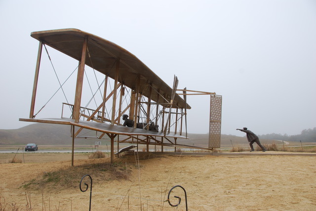
We walked back to the car and drove to a large sculptural scene commemorating the hundredth anniversary of the Wright Brothers’ first flight in bronze. It was whimsical and a good visual display of the first 20 seconds of flight.
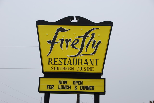
It was after noon when we left Kitty Hawk and since we had skipped breakfast, we looked for a place to have lunch. We could not pass up the brightly painted yellow house advertising genuine “Southern Cuisine”. I passed up the hush puppies, collard greens, and “cheesy grits” and had a good salad for lunch. Jeff had the house special meatloaf with boiled potatoes and lemonade.
Fortified, we continued south on Highway 158 toward Nags Head. This town got its name from the practice of Outer Banks pirates who tied lanterns around the heads of their horses to simulate boats bobbing at anchor. The lanterns lured passing ships onto shore, where they ran aground on the offshore sandbars.
 Fort Raleigh National Historic Site
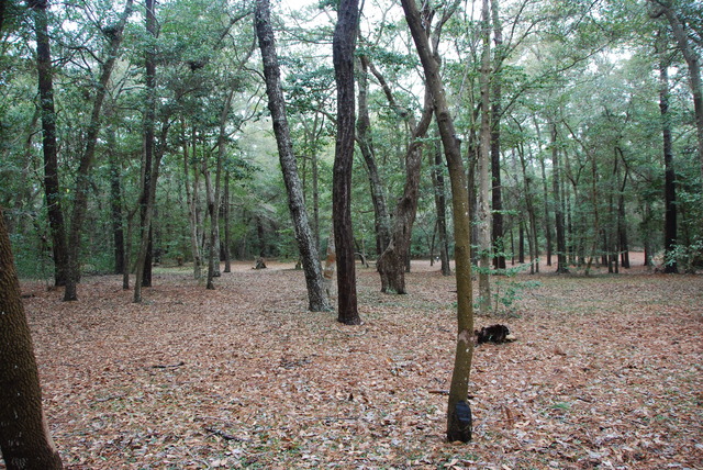
Just south of Nags Head, we turned off the road, onto Highway 64, toward Manteo. The historic port of Manteo on Roanoke Island was named after the Native American Indian who helped the early colonists survive on the island. We were going to the Fort Raleigh National Historic Site on Roanoke Island.
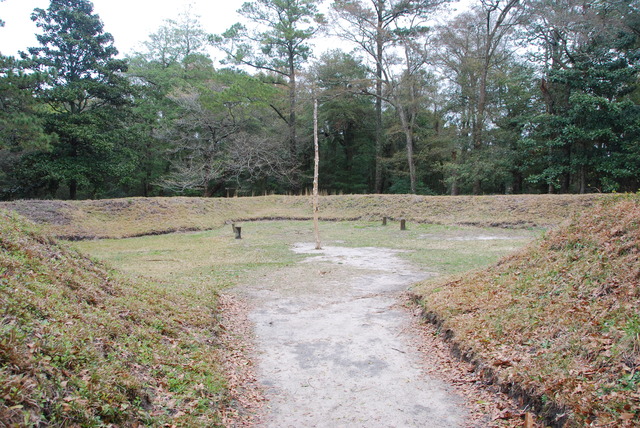
This was the place where the first colony from England was established in 1585 by Sir Walter Raleigh. The colony was not a success and the survivors returned to England. In 1587 another group of 110 colonists arrived at Fort Raleigh. They lost contact with England and, three years later, they all unfortunately disappeared without a trace. No one knows what became of this group of early colonists.
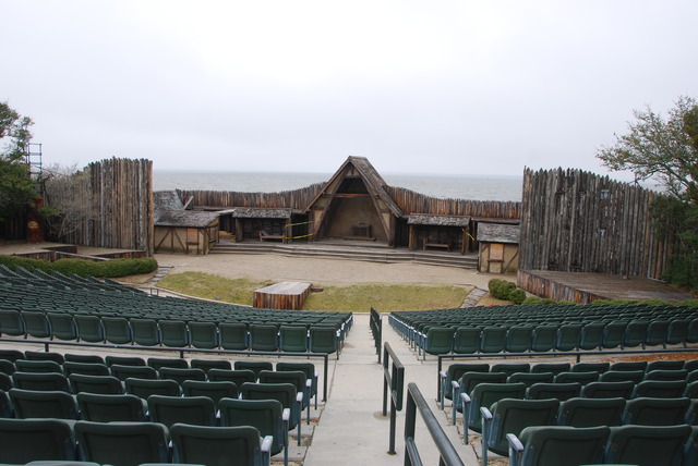
Today there is a water-front theater which presents a dramatization of the events of the ill-fated settlement. Down the road, at the Roanoke Island Festival Park, there is a full-sized square-rigged replica of the Elizabeth II, which is the type of ship that carried colonists here from England 400 years ago.
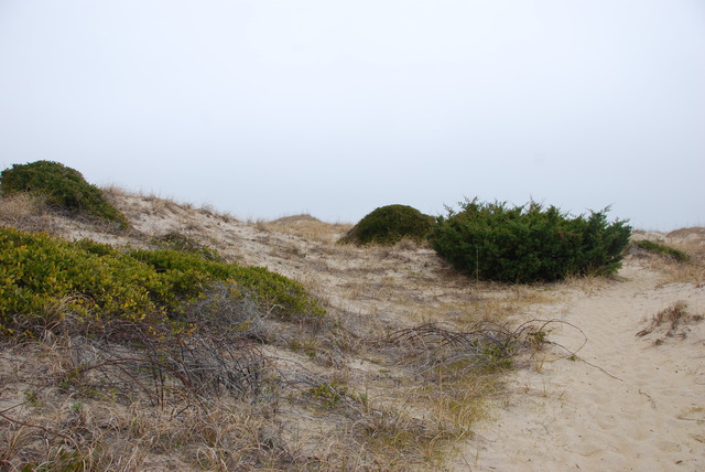
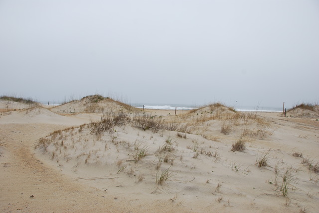
After visiting Roanoke Island, we returned to Route 12 and continued driving south. Cape Hatteras National Seashore stretches for 75 miles along the Atlantic Ocean and the three main islands: Bodie, Hatteras, and Ocracoke are nature preserves which are protected from development.
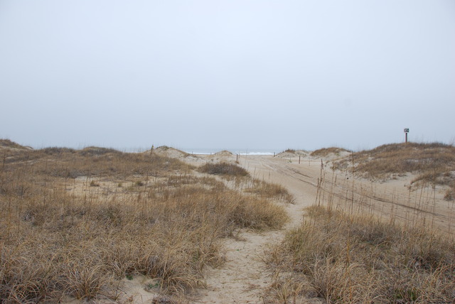
The road is almost perfectly straight with sand dunes and water on both sides of the highway. There are also three historic lighthouses along the coast.
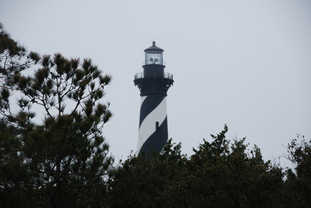
At about the middle of Hatteras Island, just past the town of Avon, we stopped off at the visitors center of the Cape Hatteras Lighthouse. The black and white striped lighthouse was built in 1870 and, at 208 feet tall, it is the tallest brick lighthouse in the United States. When it was built, it was about a quarter mile from the water, but by 1995, it was only 120 feet from the ocean because of erosion. In 1999, the National Park Service lifted the 3,000 ton lighthouse onto rails and moved it a quarter mile inland, where it rests today.
Since I am a Weather Channel fanatic, this was a very exciting place to be! All across the southeastern United States, hurricane season begins in June and lasts through November. More dangerous than the high winds of a hurricane is a storm surge – a dome of ocean water that can be 20 feet high and 50 to 100 miles wide. I could understand why most of the houses on Cape Hatteras were built on tall stilts.
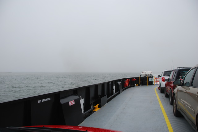
We reached the end of Hatteras Island and the end of Route 12. In order to continue south, we had to take the free state-run ferry across the bay to Ocracoke Island. The ferry runs every half hour from 5 AM to midnight and shuttles cars and people across the inlet of Pamlico Sound. The temperature was about 50 degrees but overcast and windy. Large gray clouds rolled by overhead.
It was getting late and we debated staying overnight in the small town of Hatteras on the south end of the island.
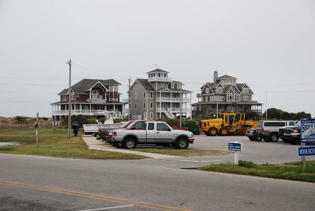 The Town of Hatteras, North Carolina
We checked our cell-phones and the accommodations sounded better on Ocracoke, so we boarded the next ferry for the 40 minute ride.
We arrived in Ocracoke at 4:30 in the afternoon. The Hatteras ferry terminal on Ocracoke is located at the north end of the island and it is a long 18 mile drive through this part of the National Seashore to the town.
Almost immediately, as we drove off the ferry boat, we noticed no connection on our cell phones. We had been tracking the journey on our iPhones and, for the first time on this trip, we read “no signal” on the top of the screen. Could there really be NO cell-phone coverage on Ocracoke Island?!! It was inconceivable to us!
We had used our cell phones and their Internet capabilities for everything from finding restaurants and hotels to tracking our journey and using the GPS map to follow the right roads. Also we communicated with our family via phone and e-mail. How could we survive without our phones?! I had promised my brother that I would check-in with him in the evening. How could I call him with NO Service?!
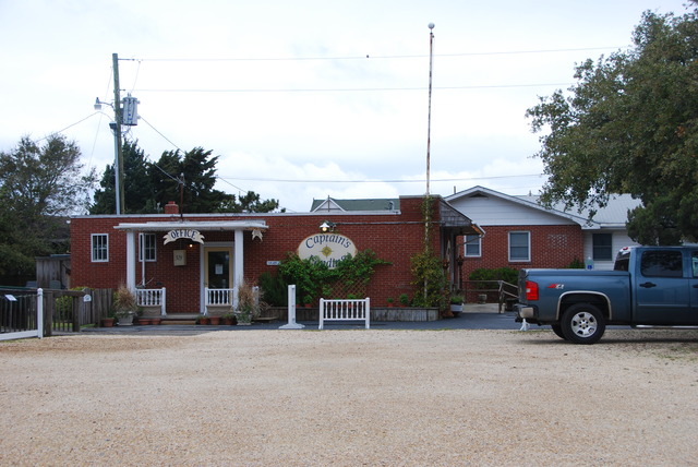
Fortunately, we had researched (via the iPhone) Ocracoke hotels while we waited for the ferry, so we knew which hotels were the best and which were still available. We drove to the town and found the Captain’s Landing.
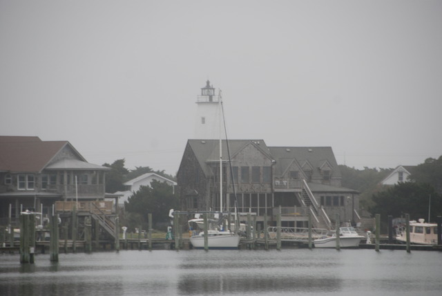
We checked in and made ourselves at home. Our accommodations were a good-sized one bedroom suite with full kitchen and 1 and ½ bathrooms. The living room and the bedroom had large picture windows overlooking the lovely harbor. They normally rented by the week, but during the off-season they rented their apartments nightly. We decided that this would be a perfect place to stay for a week to rest and relax, far away and cut off from the rest of the world.
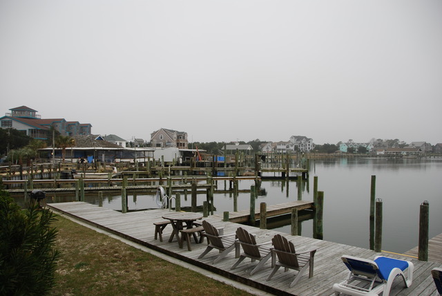 The View From The Captain’s Landing
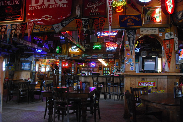
Several menus from local restaurants were left in the kitchen for guests to choose from. We picked Howard’s Pub and drove there for dinner. It was drizzling when we arrived at the restaurant. Howard’s was a fun place which was decorated with neon beer signs, college pennants, and license plates and stickers from all over the U.S. Bouncy Caribbean music was playing loudly. The menu stated that they served 200 different kinds of beer. I had North Carolina crab cakes and pear cider. Yum!
It was foggy and raining lightly when we left Howard’s Pub and we made it back to the Captain’s Landing just before the heavy rains started. I cranked up the thermostat to 74 degrees and we watched satellite television. There was still “no service” on our computers and phones. We were on a remote stormy island, cut off from the rest of the world. It poured most of the night, but it was so peaceful and quiet that I slept for 10 straight hours.
