Road Trip Day 5: Friday April 1st
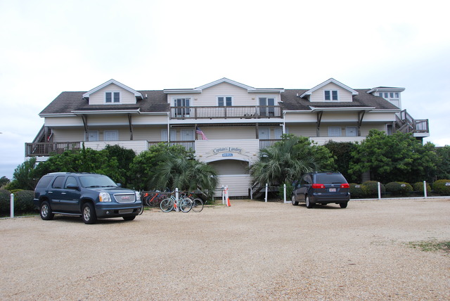
April Fool’s Day was spent leaving Ocracoke Island, North Carolina. The sky was brighter and lighter when I looked out of one of the picture windows overlooking the harbor. Could it really be clearing up? I tried to check the weather on my cell phone: No Service! Update Failed! Oh well…..
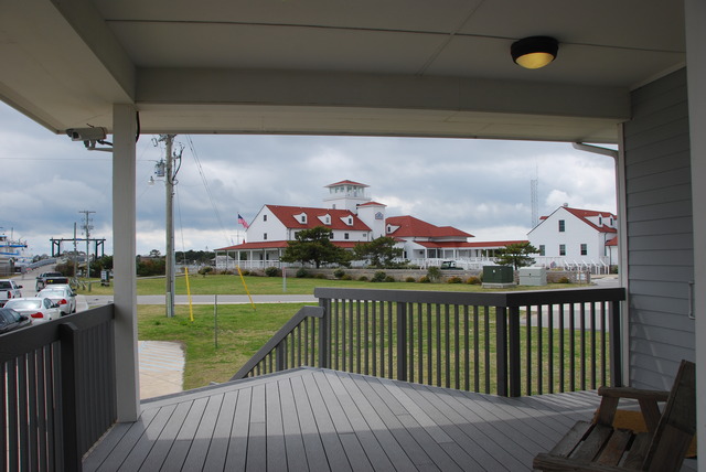
When we checked in, the woman had told us that one of the Cedar Island/Ocracoke ferries was being repaired, so there was limited service to only twice a day. She suggested that we visit the ferry office in the morning to confirm the schedule. We were packed up and ready to go by 10:00 AM. We drove to the end of the harbor near the ferry dock. The office was closed but a note on the window told us that there were two ferries a day to Cedar Island; one at 7:30 AM and the other at 1:00 PM. The office to buy tickets would be open one hour before departure time. We decided to look for a place to have breakfast, then explore the island, and return close to noon.
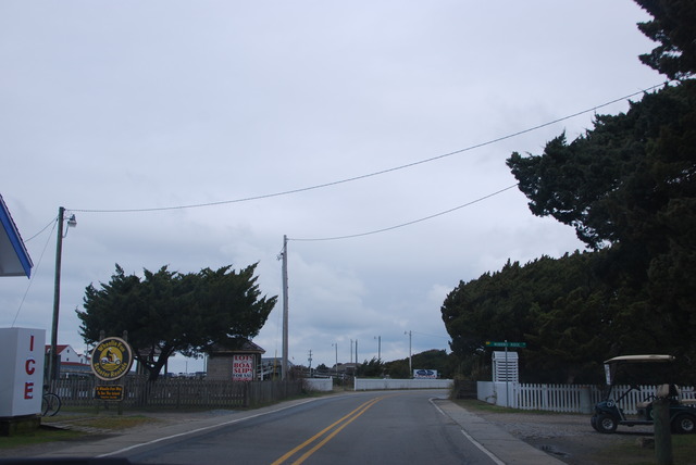
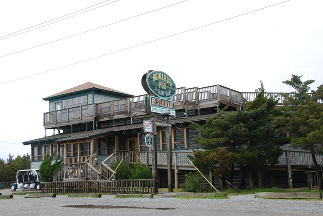
It’s impossible to get lost on Ocracoke Island because there is only one main road and just a few minor roads which circle back to the main road. We drove up and down the main road several times looking for an open cafe for breakfast. No luck. Every restaurant was closed; furthermore, most of them were closed for the winter season. We saw signs which told us that Howard’s Pub and the local Sports Bar would open at 11:00, so we shifted our priorities to brunch.
We had some time to explore the long narrow barrier island. Ocracoke has been described as an idyllic destination which retains its small town charm. The branches of live-oak trees hang over the road which has a speed limit of 20 miles an hour. This makes everything seem to move in slow-motion. It is a colorful, charming island and seems like the perfect place for escape and relaxation.
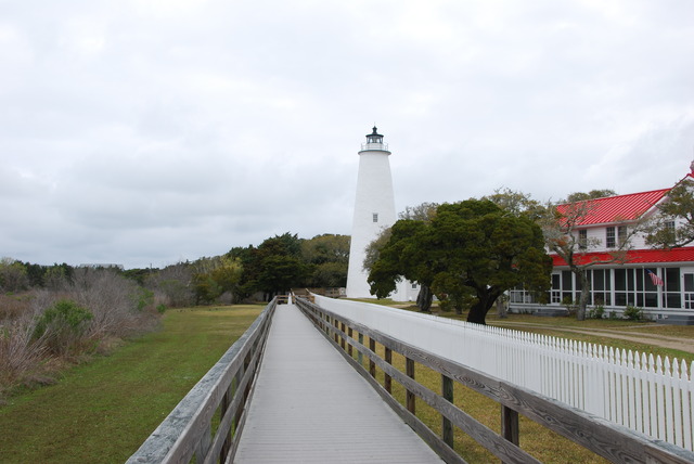
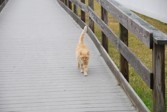
We saw the top of the Ocracoke Lighthouse on the other side of the harbor, so we turned off the main road, and drove down Lighthouse Road. We passed small wooden houses with rocking chair porches. The bright stark-white lighthouse was almost at the end of the road. It was located between a sea-grass marsh and a private garden. Access was possible via a wooden walking bridge. We parked the car, took out our cameras, and approached the bridge. Several neighboring dogs barked our presence and a large red cat ran down the walkway to greet us. She followed us back to the lighthouse, meowing and purring, hoping we brought breakfast. Unfortunately, we didn’t have anything for her.
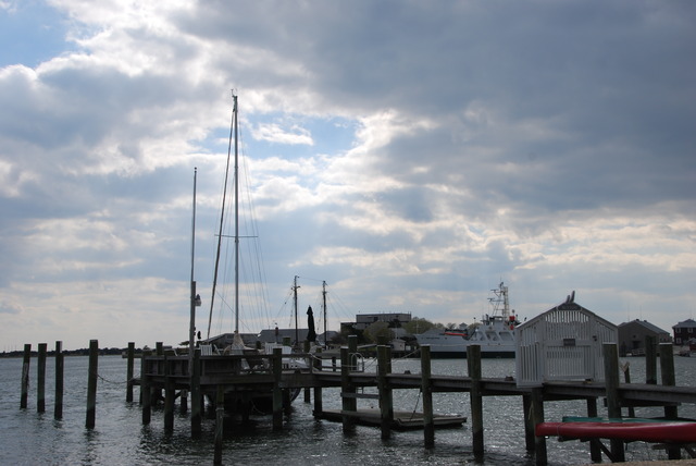
After we took photos of the lighthouse, we continued exploring the back streets. Wisteria was in full bloom and looked beautiful hanging down from trees and houses. Workmen in pick-up trucks were out in full force taking advantage of the improving weather. Several men were working on the docks. It was a quiet Friday morning. Pelicans and seagulls were hunting for their fish breakfasts in the harbor.
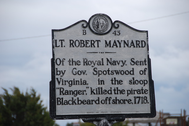
Blackbeard the Pirate was the most famous resident of Ocracoke in history. At the height of his “career” he had four stolen ships, 40 cannons, and a crew of 400 men. Edward Teach, Blackbeard’s real name, and his crew robbed and plundered passing ships up and down the Atlantic Coast for five years before he was stopped by Captain Robert Maynard of the Royal Navy in 1718 in a ferocious battle off the coast of Ocracoke Island.
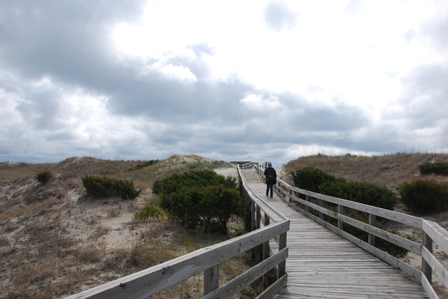
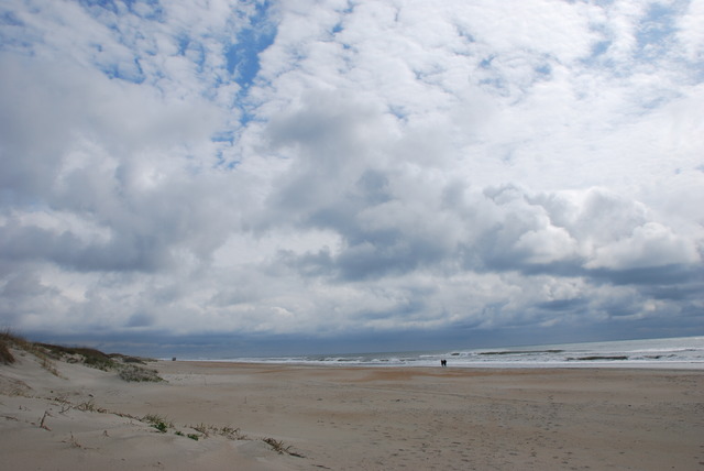
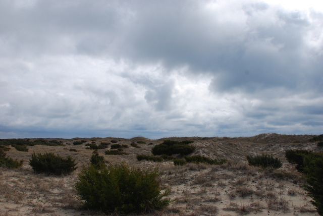 Clearing Storm Over the Sand Dunes
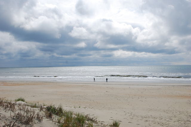
The entire 20 miles of the northern end is part of the National Seashore and there is no development there except the ferry dock for the Hatteras ferry. We drove north a few miles to see the sea shore.
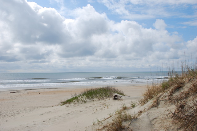
There are several beach access points between miles of sea-grass covered sand dunes. We turned into one of the parking lots and walked out to the beach. It was gorgeous!
Miles of undisturbed sand and sea as far as you could see in both directions. Blue sky was beginning to show through the clouds and a soft breeze was blowing. The view was breath-taking.
At a little after 11:00 o’clock, we drove back to the village and stopped at Howard’s Pub for brunch. The morning coffee was good and the restaurant was empty except for us. Another month or two, and Howard’s and Ocracoke will probably be jumping! Or, maybe not….
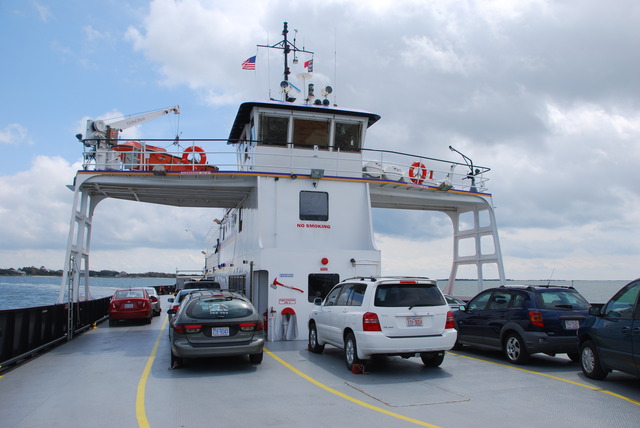
Then we drove to the ferry terminal to buy tickets to go to Cedar Island, and we waited in line. Finally, a ferry returned and we boarded with the other cars and people. There weren’t a lot of cars or commercial vehicles on the ferry. During the high season, we would have had to make reservations, but today there were just a few people leaving Ocracoke.
The sky was clearing and a cool wind blew from the north west. Wind-surfing gulls followed the ferry across Pamlico Sound and two hours and 40 minutes passed quickly.
Cedar Island is part of Cape Lookout National Seashore which is another 55 miles of barrier islands. This area is supposed to have more wilderness, with no development, and most of the seashore is accessible only by boat.
We drove along the winding Route 12 to Beaufort, North Carolina. The security guard at the ferry terminal told us to be sure to see Beaufort because it was special. It was a lovely, quiet town of pretty whitewashed houses with narrow porches. There were plenty of nautical shops and sea-food restaurants along the water on Front Street.
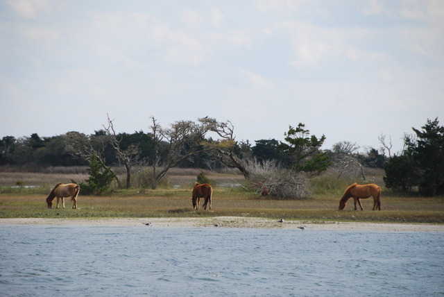 Horses Grazing Opposite Beaufort, N.C.
It was after 4:30 o’clock in the afternoon by the time we were on the road toward Morehead City. We weren’t sure where we would end up, but it was too early to stop, so we wanted to keep moving. I had read that we could take a 25 mile shortcut through Camp Lejeune Marine Base by checking in at the gate on the Route 172 and checking out at another gate on the other side of the Base. However, several miles before the Camp, a sign on the side of the road warned that the road was open to “Military Personnel Only”. That meant that we had to drive around the perimeter of the 100,000 acre Marine Base!
It was an eye-opening drive past numerous tattoo parlors, “military haircut” shops, fast-food chains, bill-boards advertising the Marines, and military surplus stores. In the northwest corner of Camp Lejeune is the city of Jacksonville which is supposed to be a “civilian adjunct to the base which services the 45,000 Marines and their dependents”. We decided not to stop in Jacksonville, and we continued to drive south on Route 17 to the next major city which is Wilmington, North Carolina.
Our cell-phones were working so we tracked our route on the Maps App and then looked up hotels in Wilmington. We also searched Safari on the iPhone to check out hotel recommendations on Tripadvisor. The Hampton Inn, now owned by the Hilton Company, got good reviews so we drove there with the help of our iPhones.
There was a military “engineers” conference and a lot of activity at the Hampton. The woman at the desk told me that she had a limited number of rooms available. We checked in, relaxed for a little while, and then went out to dinner. It was a long day and we were tired. The weather was improving and it was cool and dry. We have another travel day planned for tomorrow and who knows where we’ll be….
