Road Trip – Day 6 Saturday, April 2
I woke up in Wilmington, North Carolina. When we’re traveling like this: moving along, changing hotels every day, and sleeping in a different place every night, it takes me a few minutes to remember where I am in the morning. This was one of those mornings.
After breakfast and coffee, we packed up the car and drove into the city of Wilmington. The sun was shining and the bright blue sky was cloudless. A nice breeze was blowing and it was about 65 degrees. The downtown business district of Wilmington is well preserved and attractive. There are large southern-style mansions with lovely two-story porches on tree-lined streets. Beautiful azaleas of many colors bloomed in front of the houses. In the center of town there are restored red brick buildings along the Cape Fear River.
Wilmington had played an important part to the Confederates during the Civil War. It was the only southern city which was able to export income-producing cotton to England despite the Union blockade. As a matter of trivia, Rhett Butler, the character in the novel Gone With the Wind, was a blockade runner off the coast of Wilmington during the Civil War in the book.
We continued to drive south on Route 421 along the shore down the narrow peninsula toward Wilmington Beach and Kure Beach. The road curves west and ends at a small ferry dock somewhere near Fort Fisher.
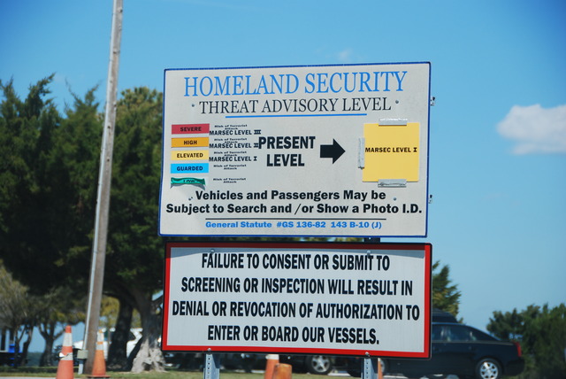
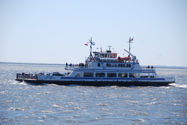
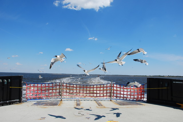
We purchased our tickets and waited to board the ferry across the Cape Fear River to Southport, North Carolina.
We drove through nondescript Southport and picked up Route 211 on the other side of town. We continued through flat marsh land for about 40 miles and finally reached Route 17 again.
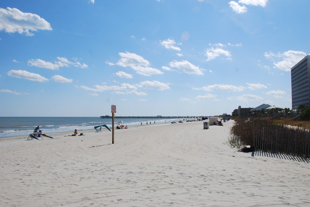
The road bends south towards the ocean through small towns like Shallote and Calabash and across the South Carolina border. We continued to drive closer to the shore on Route 17 and finally reached the city of Myrtle Beach. This was another city of miles and miles of high-rise hotels and apartment buildings along the Atlantic Ocean beach. On the street there were the t-shirt shops, beach-wear stores, bars, and fast-food restaurants one finds in resort cities.
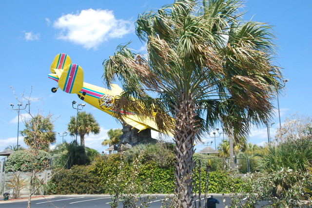
Myrtle Beach is supposed to be one of the largest and most popular beach resorts in the country. I also read that Myrtle Beach has the most miniature golf courses in the world. The clerk in the hotel where we stayed in Pawleys Island told us that Myrtle Beach had an unsafe reputation, but it looked clean and tame in the bright early-spring sunshine.
We continued south on Route 17 past Pawleys Island and into historic Georgetown. The woman at the South Carolina Welcome Center told us that Georgetown was the third oldest city in South Carolina and that the downtown area has many well-preserved colonial and antebellum houses. Georgetown was the site of the first European outpost as early as 1526. This region of South Carolina had an early history of prosperity as the main rice and indigo producers in the world. Later, the southern state enjoyed the rise of the tobacco and cotton industries. Another interesting bit of trivia: Chubby Checker, of “The Twist” fame, was born near Georgetown in a place called Spring Gully, South Carolina. I wonder if he has a museum there?
We were planning to spend the night in Georgetown, but the air had a foul smell of chemicals from a nearby paper processing plant. We drove around Georgetown for a short time to look at the buildings, but then returned to Pawleys Island and found a nice Hampton Inn just off the main road.
We had plenty of daylight left to drive out to the shore to see Pawleys Island. I was hoping to see a shop where they made the famous Pawleys Island hammocks, but there were just a couple of retail shops on the main road. Jeff said that they’re probably made in China. We drove out to the end of the road toward the ocean.
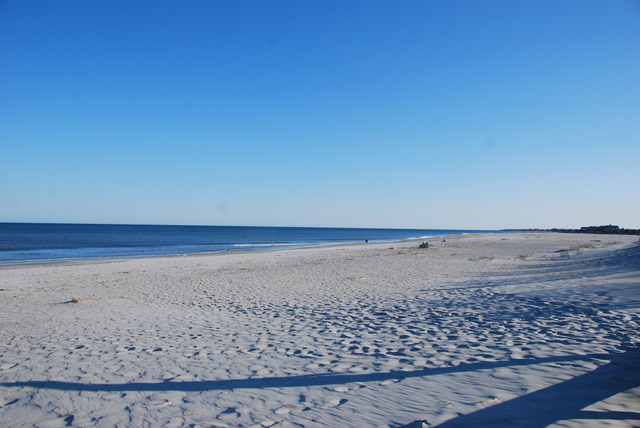
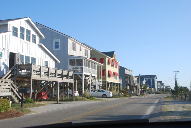
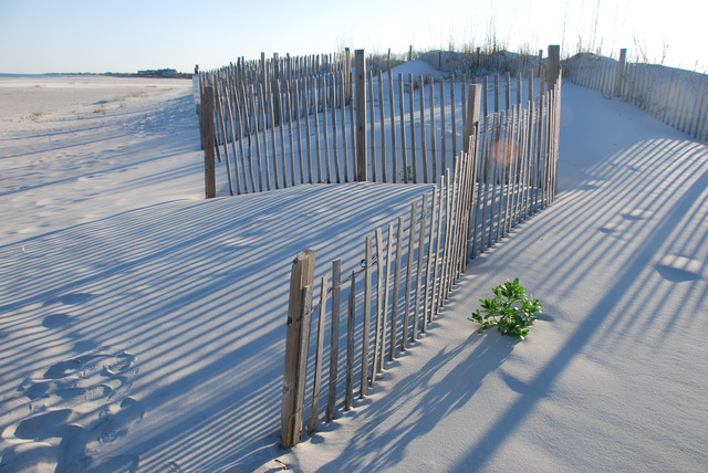
We passed salt-water marshes and drove over the inter-coastal bridge in search of the beach. The island is mostly private with a mix of old and new houses on stilts lined up in the sand dunes along the beach. Beach access is limited to the extreme south end of the island where there is a small parking lot and a path leading out through the dunes to the beautiful beach.
On our way back to the hotel, we stopped at Hauser’s Restaurant on Route 17. It was recommended to us by the clerk at the hotel, who said it was “where all the locals went for seafood”. We both had soup (red clam chowder and she-crab soup) and shared a delicious spicy jambalaya on rice. It was a good way to end the day by the shore!


