Spring In Charleston, South Carolina

April 3rd, 2011

Road Trip – Day 7 Sunday, April 3rd

We had stayed at Pawleys Island/Litchfield last night because the woman at the South Carolina Welcome Center told us that there were four major events happening in Charleston this weekend. There was an art show, a flower show, the Bridge Run race, and something else which I can’t remember. She said that most of the hotel rooms in town were filled so Sunday or Monday would be much better days to visit the popular city.

Pineapple Fountain in Charleston

We left Pawley’s Island and drove south on Route 17 under the brilliant warm sunshine. The leaves on the trees were beginning to turn green. The number of palm trees where growing as we traveled south. Azalea bushes were in full bloom in a variety of colors. Spring was definitely here.

Charleston Houses Along Meeting Street

There isn’t too much to see along this part of Route 17 because it passes through the dense forests of Francis Marion National Forest and the Cape Romain National Wildlife Refuge. We passed signs pointing to small towns and saw isolated shanties and tiny AME Zion churches along the road. There were also ramshackle wood stands on the side of the road into Charleston. These are where the African sweetgrass basket-makers sit in the summertime and weave their intricate baskets. They were empty now, waiting for warmer weather.

One Way to See Charleston

Route 17 goes across a high bridge from Mount Pleasant and runs straight through the back streets of Charleston before crossing another bridge over the Ashley River on the other side and continuing out of town. We followed Route 17 to West of Ashley to a lovely Hampton Inn about six miles out of town. We checked in early and returned back to Charleston to explore the historic city.

King Street in Charleston

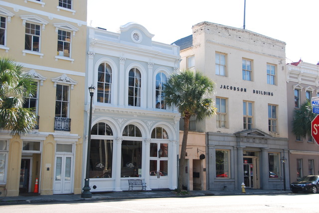
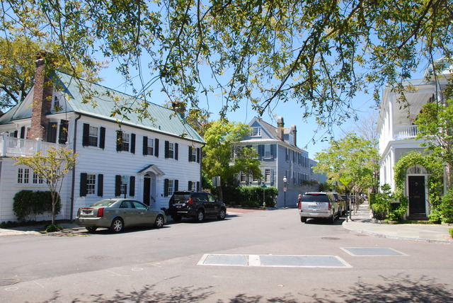
The streets are narrow in Charleston and parking on the streets is limited to residents. First we drove down to the end of Meeting Street and around the end of the peninsula and past the Battery. We wanted to get our bearings before parking the car in a parking garage. Then we walked all over Charleston up and down the small back streets and along the main streets of Meeting, King, and Market.

One of the Back Streets

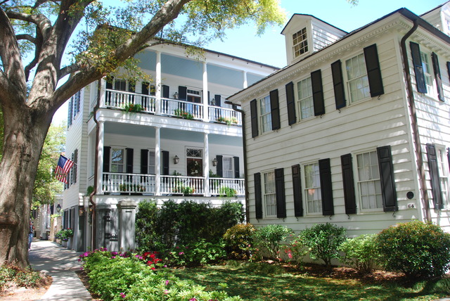
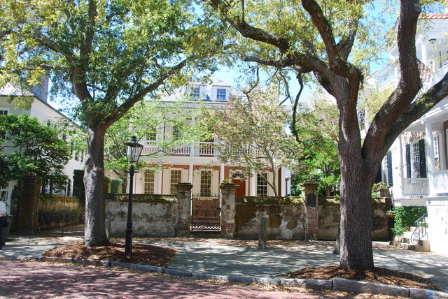
In one word, Charleston is lovely. It is a graceful city with a lot of gentile charm. The architecture is southern colonial and many of the houses were built in the 1700s and early 1800s. They are very well maintained and lovingly restored with beautiful plantings. Tall 3-story houses were built on narrow lots with long multi-level porches on the side. The porches had ceiling fans and wooden rocking chairs and looked very inviting.

Old Cemetery

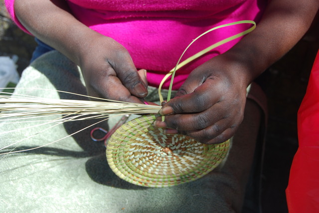
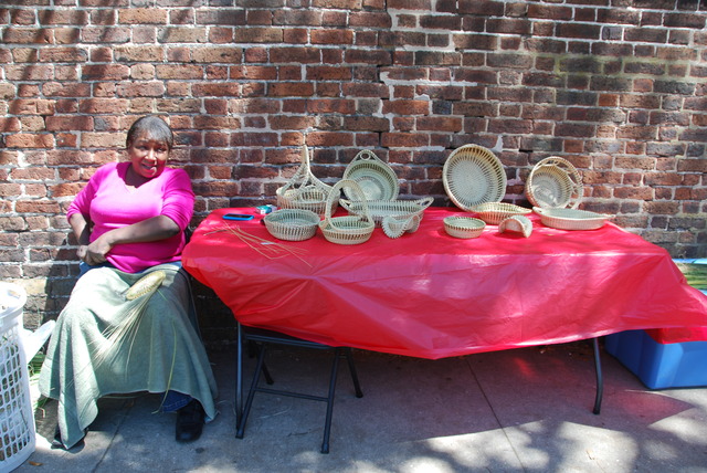
Along Meeting Street, near a large church, a woman had set up a table filled with her hand-made sweetgrass baskets. She was working on the base of a new basket when I stopped to admire them. There were different sizes and shapes of baskets and she had signed all her work with marking pen.

The Sweetgrass Basket Maker

Patricia Smalls worked as she spoke to me, a bucket of fresh grasses stood beside her. I decided to buy one of the smaller baskets because I liked the curvature of the sides. There were three undulating curves which reminded me of the waves on the ocean.

Patricia Smalls Weaving a Basket

We continued to walk around and took lots of photos. After a while, we decided to take a break and have a light lunch on King Street. The weather was warm and sunny all day. A variety of spring flowers bloomed in lovely gardens. On the way back to the car we found Market Street and the row of covered markets.

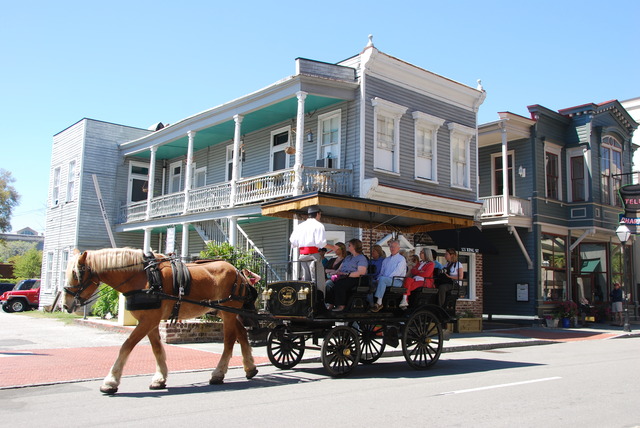
Charleston Buggy

Historically this was where over a third of all the African slaves arrived into the colonies. Once the commercial center of Charleston, the market now houses a range of souvenir shops and tourist restaurants. There were also more local basket weavers selling their beautiful sweetgrass baskets.

Typical Charleston House

We were tired from walking around most of the day, so we returned to our hotel in West Ashley in the early evening. We rested for a while and later decided to go out to the local Chinese restaurant for dinner. We got a light take-out order of soup and dumplings and returned to the room. It was a good touristy day.

Azaleas In Bloom


It’s Beginning to Feel Like Spring

April 2nd, 2011

Road Trip – Day 6 Saturday, April 2

I woke up in Wilmington, North Carolina. When we’re traveling like this: moving along, changing hotels every day, and sleeping in a different place every night, it takes me a few minutes to remember where I am in the morning. This was one of those mornings.

After breakfast and coffee, we packed up the car and drove into the city of Wilmington. The sun was shining and the bright blue sky was cloudless. A nice breeze was blowing and it was about 65 degrees. The downtown business district of Wilmington is well preserved and attractive. There are large southern-style mansions with lovely two-story porches on tree-lined streets. Beautiful azaleas of many colors bloomed in front of the houses. In the center of town there are restored red brick buildings along the Cape Fear River.

Wilmington had played an important part to the Confederates during the Civil War. It was the only southern city which was able to export income-producing cotton to England despite the Union blockade. As a matter of trivia, Rhett Butler, the character in the novel Gone With the Wind, was a blockade runner off the coast of Wilmington during the Civil War in the book.

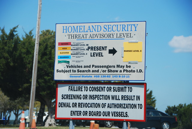
Sign Near the Ferry Terminal

We continued to drive south on Route 421 along the shore down the narrow peninsula toward Wilmington Beach and Kure Beach. The road curves west and ends at a small ferry dock somewhere near Fort Fisher.

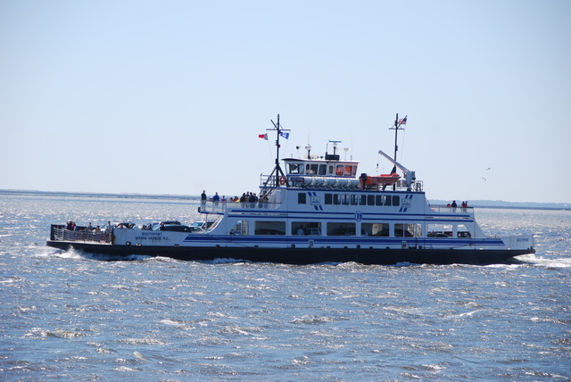
Fort Fisher/Southport Ferry

We purchased our tickets and waited to board the ferry across the Cape Fear River to Southport, North Carolina.

We drove through nondescript Southport and picked up Route 211 on the other side of town. We continued through flat marsh land for about 40 miles and finally reached Route 17 again.

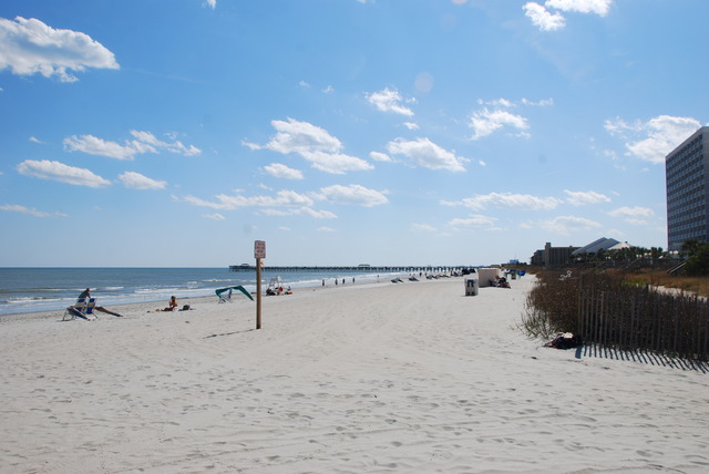
Looking North on Myrtle Beach

The road bends south towards the ocean through small towns like Shallote and Calabash and across the South Carolina border. We continued to drive closer to the shore on Route 17 and finally reached the city of Myrtle Beach. This was another city of miles and miles of high-rise hotels and apartment buildings along the Atlantic Ocean beach. On the street there were the t-shirt shops, beach-wear stores, bars, and fast-food restaurants one finds in resort cities.

Looking South on Myrtle Beach

Myrtle Beach is supposed to be one of the largest and most popular beach resorts in the country. I also read that Myrtle Beach has the most miniature golf courses in the world. The clerk in the hotel where we stayed in Pawleys Island told us that Myrtle Beach had an unsafe reputation, but it looked clean and tame in the bright early-spring sunshine.

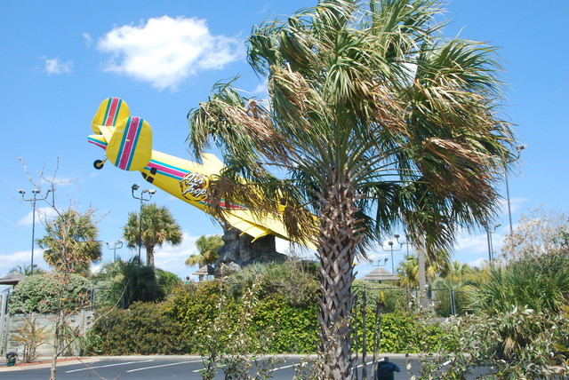
Miniature Golf Range

We continued south on Route 17 past Pawleys Island and into historic Georgetown. The woman at the South Carolina Welcome Center told us that Georgetown was the third oldest city in South Carolina and that the downtown area has many well-preserved colonial and antebellum houses. Georgetown was the site of the first European outpost as early as 1526. This region of South Carolina had an early history of prosperity as the main rice and indigo producers in the world.  Later, the southern state enjoyed the rise of the tobacco and cotton industries. Another interesting bit of trivia: Chubby Checker, of “The Twist” fame, was born near Georgetown in a place called Spring Gully, South Carolina. I wonder if he has a museum there?

Pawley’s Island Salt Marsh

We were planning to spend the night in Georgetown, but the air had a foul smell of chemicals from a nearby paper processing plant. We drove around Georgetown for a short time to look at the buildings, but then returned to Pawleys Island and found a nice Hampton Inn just off the main road.

Pawley’s Island Beach

We had plenty of daylight left to drive out to the shore to see Pawleys Island. I was hoping to see a shop where they made the famous Pawleys Island hammocks, but there were just a couple of retail shops on the main road. Jeff said that they’re probably made in China. We drove out to the end of the road toward the ocean.

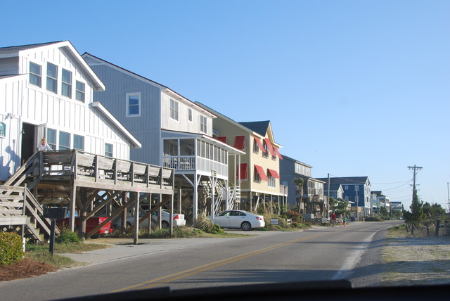
Houses on Pawley’s Island

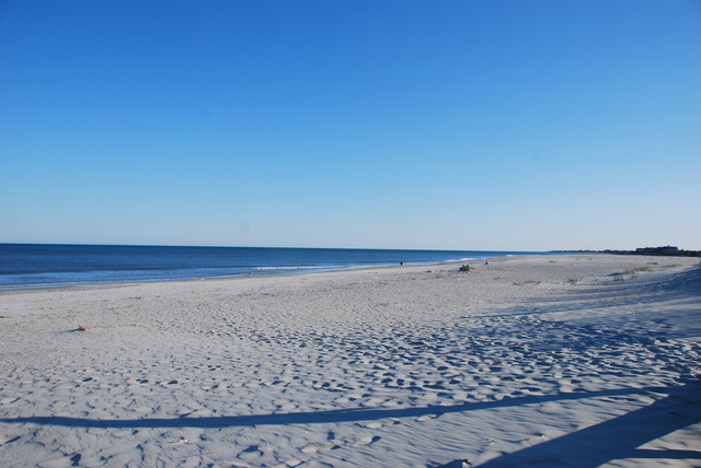
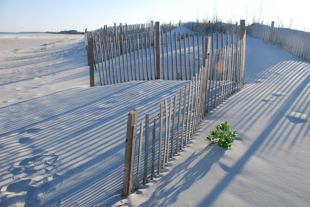
We passed salt-water marshes and drove over the inter-coastal bridge in search of the beach. The island is mostly private with a mix of old and new houses on stilts lined up in the sand dunes along the beach. Beach access is limited to the extreme south end of the island where there is a small parking lot and a path leading out through the dunes to the beautiful beach.

Pawley’s Island

On our way back to the hotel, we stopped at Hauser’s Restaurant on Route 17. It was recommended to us by the clerk at the hotel, who said it was “where all the locals went for seafood”. We both had soup (red clam chowder and she-crab soup) and shared a delicious spicy jambalaya on rice. It was a good way to end the day by the shore!

Getting Off Ocracoke Island

April 1st, 2011

Road Trip Day 5: Friday April 1st

April Fool’s Day was spent leaving Ocracoke Island, North Carolina. The sky was brighter and lighter when I looked out of one of the picture windows overlooking the harbor. Could it really be clearing up? I tried to check the weather on my cell phone: No Service! Update Failed! Oh well…..

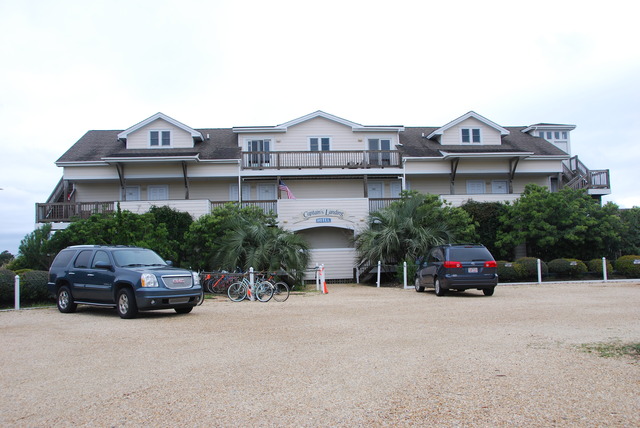
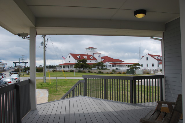
The Captain’s Landing

When we checked in, the woman had told us that one of the Cedar Island/Ocracoke ferries was being repaired, so there was limited service to only twice a day. She suggested that we visit the ferry office in the morning to confirm the schedule. We were packed up and ready to go by 10:00 AM. We drove to the end of the harbor near the ferry dock. The office was closed but a note on the window told us that there were two ferries a day to Cedar Island; one at 7:30 AM and the other at 1:00 PM. The office to buy tickets would be open one hour before departure time. We decided to look for a place to have breakfast, then explore the island, and return close to noon.

Main Street in Ocracoke

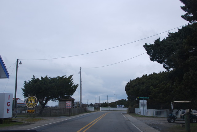
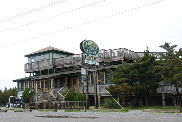
It’s impossible to get lost on Ocracoke Island because there is only one main road and just a few minor roads which circle back to the main road. We drove up and down the main road several times looking for an open cafe for breakfast. No luck. Every restaurant was closed; furthermore, most of them were closed for the winter season. We saw signs which told us that Howard’s Pub and the local Sports Bar would open at 11:00, so we shifted our priorities to brunch.

Howard’s Pub

We had some time to explore the long narrow barrier island. Ocracoke has been described as an idyllic destination which retains its small town charm. The branches of live-oak trees hang over the road which has a speed limit of 20 miles an hour. This makes everything seem to move in slow-motion. It is a colorful, charming island and seems like the perfect place for escape and relaxation.

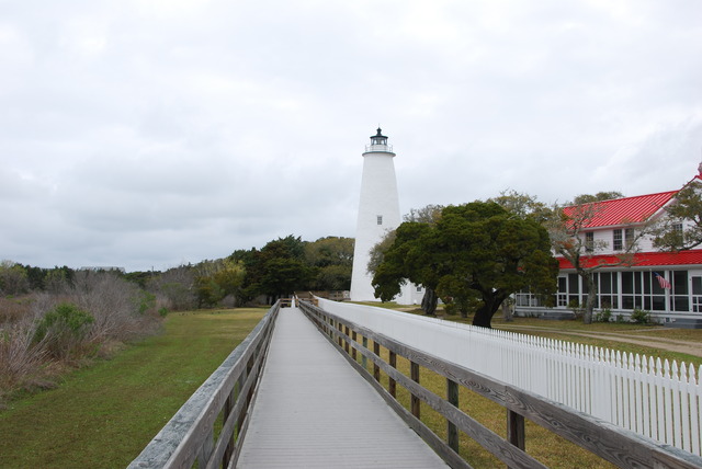
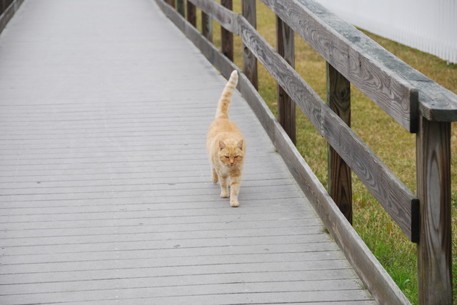
We saw the top of the Ocracoke Lighthouse on the other side of the harbor, so we turned off the main road, and drove down Lighthouse Road. We passed small wooden houses with rocking chair porches. The bright stark-white lighthouse was almost at the end of the road. It was located between a sea-grass marsh and a private garden. Access was possible via a wooden walking bridge. We parked the car, took out our cameras, and approached the bridge. Several neighboring dogs barked our presence and a large red cat ran down the walkway to greet us. She followed us back to the lighthouse, meowing and purring, hoping we brought breakfast. Unfortunately, we didn’t have anything for her.

After we took photos of the lighthouse, we continued exploring the back streets. Wisteria was in full bloom and looked beautiful hanging down from trees and houses. Workmen in pick-up trucks were out in full force taking advantage of the improving weather. Several men were working on the docks. It was a quiet Friday morning. Pelicans and seagulls were hunting for their fish breakfasts in the harbor.

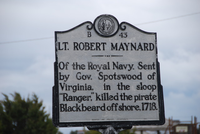
Blackbeard the Pirate Sign

Blackbeard the Pirate was the most famous resident of Ocracoke in history. At the height of his “career” he had four stolen ships, 40 cannons, and a crew of 400 men. Edward Teach, Blackbeard’s real name, and his crew robbed and plundered passing ships up and down the Atlantic Coast for five years before he was stopped by Captain Robert Maynard of the Royal Navy in 1718 in a ferocious battle off the coast of Ocracoke Island.

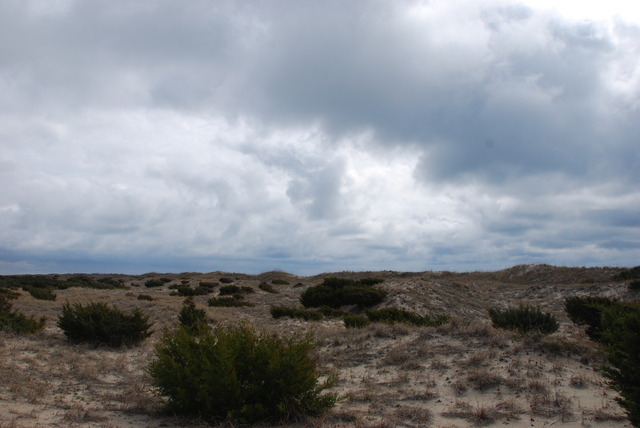
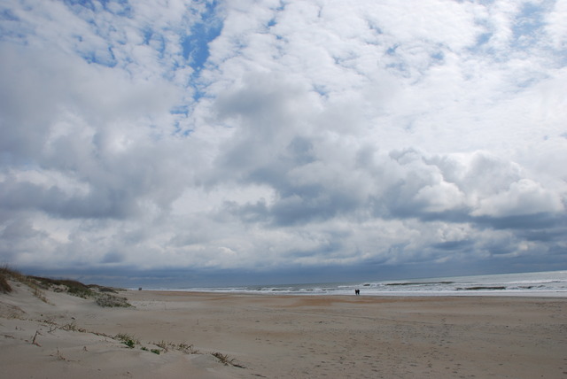
Clearing Storm Over the Sand Dunes

The entire 20 miles of the northern end is part of the National Seashore and there is no development there except the ferry dock for the Hatteras ferry. We drove north a few miles to see the sea shore.

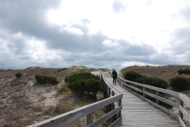
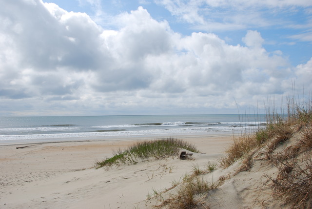
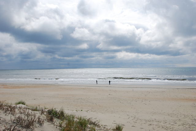
There are several beach access points between miles of sea-grass covered sand dunes. We turned into one of the parking lots and walked out to the beach. It was gorgeous!

Miles of undisturbed sand and sea as far as you could see in both directions. Blue sky was beginning to show through the clouds and a soft breeze was blowing. The view was breath-taking.

At a little after 11:00 o’clock, we drove back to the village and stopped at Howard’s Pub for brunch. The morning coffee was good and the restaurant was empty except for us.  Another month or two, and Howard’s and Ocracoke will probably be jumping!  Or, maybe not….

Then we drove to the ferry terminal to buy tickets to go to Cedar Island, and we waited in line. Finally, a ferry returned and we boarded with the other cars and people.  There weren’t a lot of cars or commercial vehicles on the ferry.  During the high season, we would have had to make reservations, but today there were just a few people leaving Ocracoke.

The Ferry Terminal

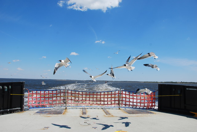
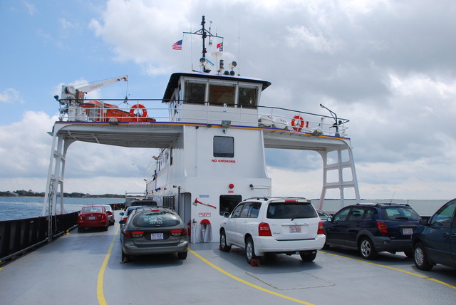
The sky was clearing and a cool wind blew from the north west. Wind-surfing gulls followed the ferry across Pamlico Sound and two hours and 40 minutes passed quickly.

On the Cedar Island Ferry

Cedar Island is part of Cape Lookout National Seashore which is another 55 miles of barrier islands. This area is supposed to have more wilderness, with no development, and most of the seashore is accessible only by boat.

We drove along the winding Route 12 to Beaufort, North Carolina. The security guard at the ferry terminal told us to be sure to see Beaufort because it was special. It was a lovely, quiet town of pretty whitewashed houses with narrow porches. There were plenty of nautical shops and sea-food restaurants along the water on Front Street.

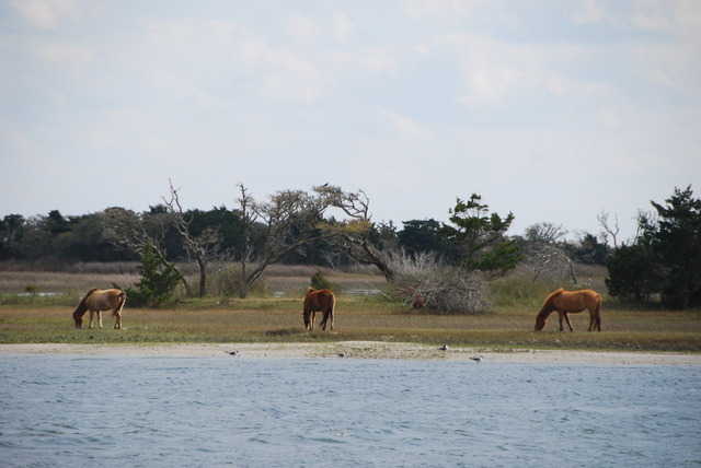
Horses Grazing Opposite Beaufort, N.C.

It was after 4:30 o’clock in the afternoon by the time we were on the road toward Morehead City. We weren’t sure where we would end up, but it was too early to stop, so we wanted to keep moving. I had read that we could take a 25 mile shortcut through Camp Lejeune Marine Base by checking in at the gate on the Route 172 and checking out at another gate on the other side of the Base. However, several miles before the Camp, a sign on the side of the road warned that the road was open to “Military Personnel Only”. That meant that we had to drive around the perimeter of the 100,000 acre Marine Base!

It was an eye-opening drive past numerous tattoo parlors, “military haircut” shops, fast-food chains, bill-boards advertising the Marines, and military surplus stores. In the northwest corner of Camp Lejeune is the city of Jacksonville which is supposed to be a “civilian adjunct to the base which services the 45,000 Marines and their dependents”. We decided not to stop in Jacksonville, and we continued to drive south on Route 17 to the next major city which is Wilmington, North Carolina.

Our cell-phones were working so we tracked our route on the Maps App and then looked up hotels in Wilmington. We also searched Safari on the iPhone to check out hotel recommendations on Tripadvisor. The Hampton Inn, now owned by the Hilton Company, got good reviews so we drove there with the help of our iPhones.

There was a military “engineers” conference and a lot of activity at the Hampton. The woman at the desk told me that she had a limited number of rooms available.  We checked in, relaxed for a little while, and then went out to dinner. It was a long day and we were tired. The weather was improving and it was cool and dry. We have another travel day planned for tomorrow and who knows where we’ll be….

No Service On Ocracoke Island!

March 31st, 2011

Road Trip – Day 4: Thursday, March 31st

It was drizzling in the morning when we woke up. The wind had decreased, but it was gray, overcast, and foggy. I looked out at the raging sea and was glad that we weren’t camping near the beach. We checked out of the hotel and drove south along the Outer Banks roadway along miles of beach front houses. We were on our way to see “Kitty Hawk” which was the popular name for the place that Orville and Wilbur Wright made their famous first flight in 1903.
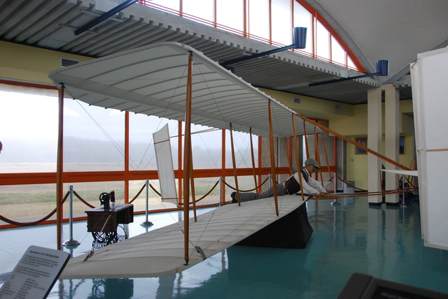
Wright Brothers National Memorial Visitors Center

We turned onto the air field which is now the Wright Brothers National Memorial. Inside the visitors center are two replicas of the famous bi-planes and displays showing the tools and explaining how the Wright Brothers accomplished their historical flights. Orville made the first powered airplane flight in the world and officially started the quest to fly further, higher and faster.
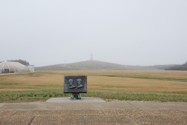
Kitty Hawk Field

It had stopped raining and huge gray clouds were blowing by. Out on the grassy field there was a large stone marking the spot where the first four flights were launched from an iron rail. To the right of the stone were four smaller stones marking the spots where the flights landed. The first stone was a mere 120 feet away, but marked one of the greatest accomplishments of mankind.
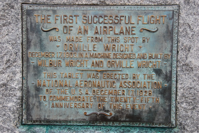
Commemorative Plaque

At the far end of the field was a huge stone monument to the Wright Brothers. It was built on top of Kil Devil Hill in the shape of a giant wing. The display made the point that the Wright Brothers made their accomplishments, not by luck or mere chance, but by systematic scientific experimentation. The view from the top of the hill was good, but would have been better on a clear day. At least it wasn’t raining!
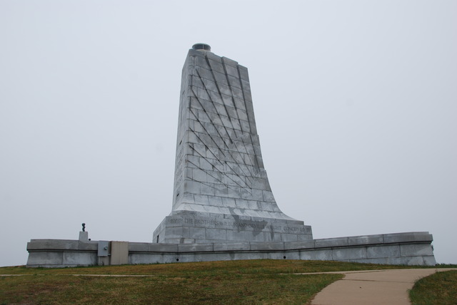
Monument on Kil Devil Hill

We walked back to the car and drove to a large sculptural scene commemorating the hundredth anniversary of the Wright Brothers’ first flight in bronze. It was whimsical and a good visual display of the first 20 seconds of flight.
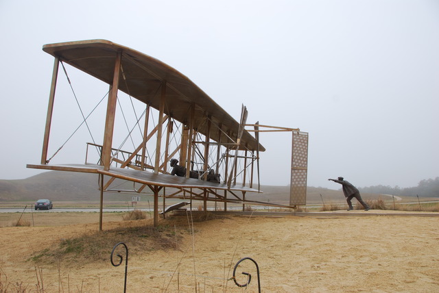
Metal Commemorative Statue

It was after noon when we left Kitty Hawk and since we had skipped breakfast, we looked for a place to have lunch. We could not pass up the brightly painted yellow house advertising genuine “Southern Cuisine”. I passed up the hush puppies, collard greens, and “cheesy grits” and had a good salad for lunch. Jeff had the house special meatloaf with boiled potatoes and lemonade.
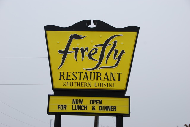
Firefly Restaurant Sign

Fortified, we continued south on Highway 158 toward Nags Head. This town got its name from the practice of Outer Banks pirates who tied lanterns around the heads of their horses to simulate boats bobbing at anchor. The lanterns lured passing ships onto shore, where they ran aground on the offshore sandbars.
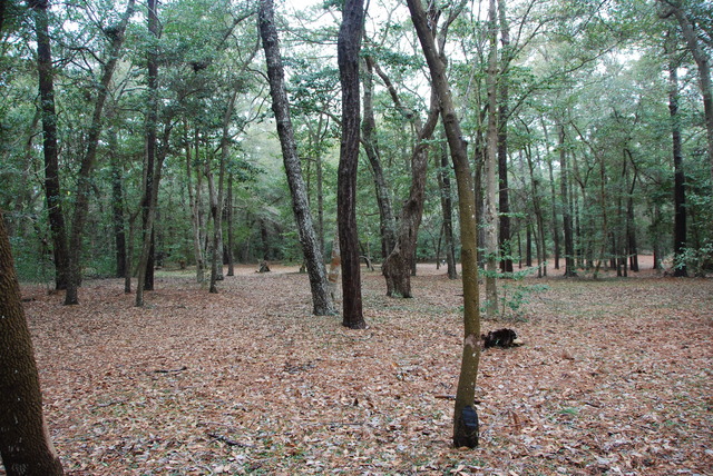
Fort Raleigh National Historic Site

Just south of Nags Head, we turned off the road, onto Highway 64, toward Manteo. The historic port of Manteo on Roanoke Island was named after the Native American Indian who helped the early colonists survive on the island. We were going to the Fort Raleigh National Historic Site on Roanoke Island.
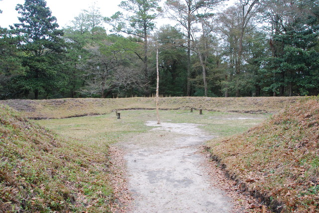
Excavation on Roanoke Island

This was the place where the first colony from England was established in 1585 by Sir Walter Raleigh. The colony was not a success and the survivors returned to England. In 1587 another group of 110 colonists arrived at Fort Raleigh. They lost contact with England and, three years later, they all unfortunately disappeared without a trace. No one knows what became of this group of early colonists.
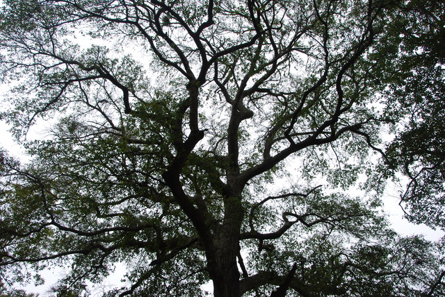
Ancient Tree

Today there is a water-front theater which presents a dramatization of the events of the ill-fated settlement. Down the road, at the Roanoke Island Festival Park, there is a full-sized square-rigged replica of the Elizabeth II, which is the type of ship that carried colonists here from England 400 years ago.
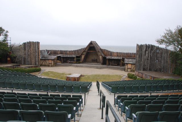
Theater by the Sea

After visiting Roanoke Island, we returned to Route 12 and continued driving south. Cape Hatteras National Seashore stretches for 75 miles along the Atlantic Ocean and the three main islands: Bodie, Hatteras, and Ocracoke are nature preserves which are protected from development.
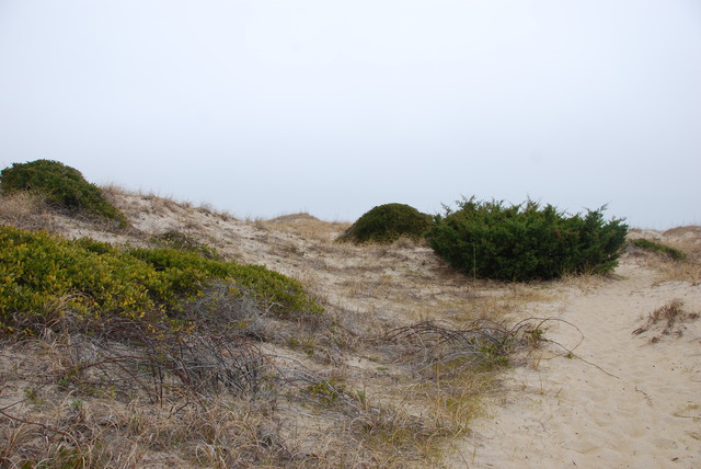
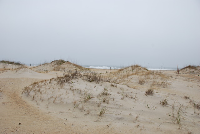
The road is almost perfectly straight with sand dunes and water on both sides of the highway. There are also three historic lighthouses along the coast.
At about the middle of Hatteras Island, just past the town of Avon, we stopped off at the visitors center of the Cape Hatteras Lighthouse. The black and white striped lighthouse was built in 1870 and, at 208 feet tall, it is the tallest brick lighthouse in the United States. When it was built, it was about a quarter mile from the water, but by 1995, it was only 120 feet from the ocean because of erosion. In 1999, the National Park Service lifted the 3,000 ton lighthouse onto rails and moved it a quarter mile inland, where it rests today.
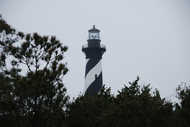
Hatteras Lighthouse

Since I am a Weather Channel fanatic, this was a very exciting place to be! All across the southeastern United States, hurricane season begins in June and lasts through November. More dangerous than the high winds of a hurricane is a storm surge – a dome of ocean water that can be 20 feet high and 50 to 100 miles wide. I could understand why most of the houses on Cape Hatteras were built on tall stilts.
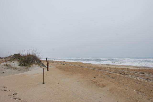
We reached the end of Hatteras Island and the end of Route 12. In order to continue south, we had to take the free state-run ferry across the bay to Ocracoke Island. The ferry runs every half hour from 5 AM to midnight and shuttles cars and people across the inlet of Pamlico Sound. The temperature was about 50 degrees but overcast and windy. Large gray clouds rolled by overhead.
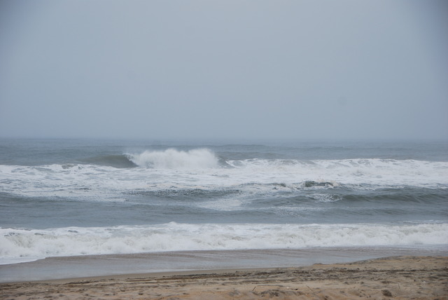
It was getting late and we debated staying overnight in the small town of Hatteras on the south end of the island.
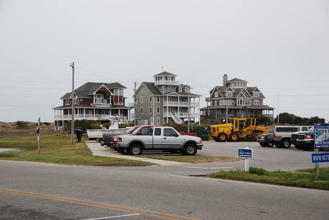
The Town of Hatteras, North Carolina

We checked our cell-phones and the accommodations sounded better on Ocracoke, so we boarded the next ferry for the 40 minute ride.
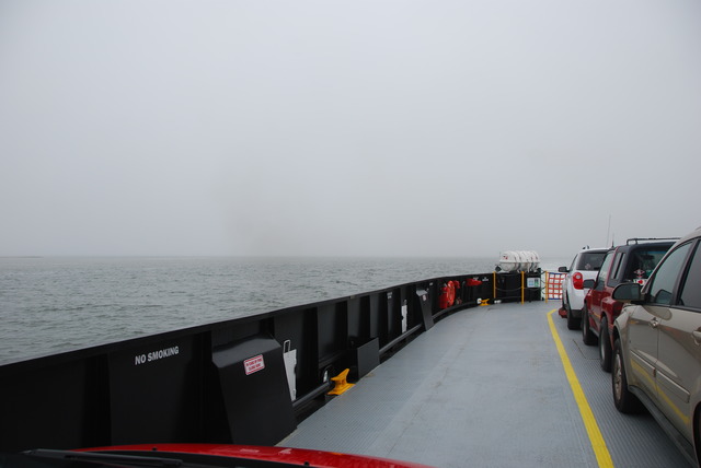
The View From the Ferry

We arrived in Ocracoke at 4:30 in the afternoon. The Hatteras ferry terminal on Ocracoke is located at the north end of the island and it is a long 18 mile drive through this part of the National Seashore to the town.
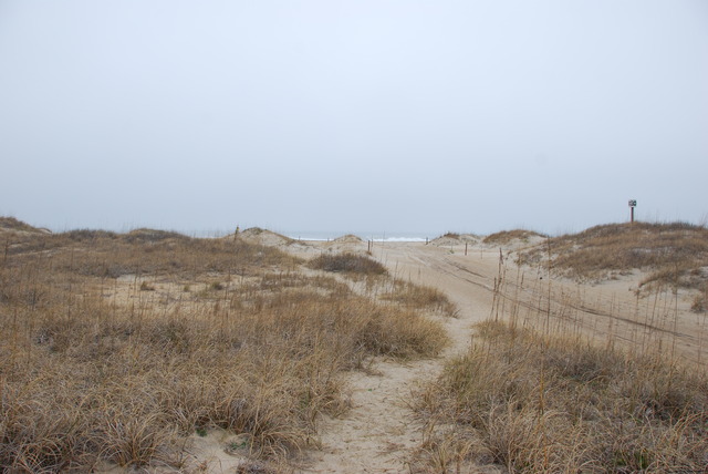
Almost immediately, as we drove off the ferry boat, we noticed no connection on our cell phones. We had been tracking the journey on our iPhones and, for the first time on this trip, we read “no signal” on the top of the screen. Could there really be NO cell-phone coverage on Ocracoke Island?!! It was inconceivable to us!

We had used our cell phones and their Internet capabilities for everything from finding restaurants and hotels to tracking our journey and using the GPS map to follow the right roads. Also we communicated with our family via phone and e-mail. How could we survive without our phones?!  I had promised my brother that I would check-in with him in the evening.  How could I call him with NO Service?!
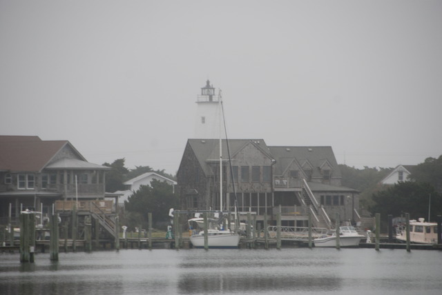
Ocracoke Island Harbor

Fortunately, we had researched (via the iPhone) Ocracoke hotels while we waited for the ferry, so we knew which hotels were the best and which were still available. We drove to the town and found the Captain’s Landing.
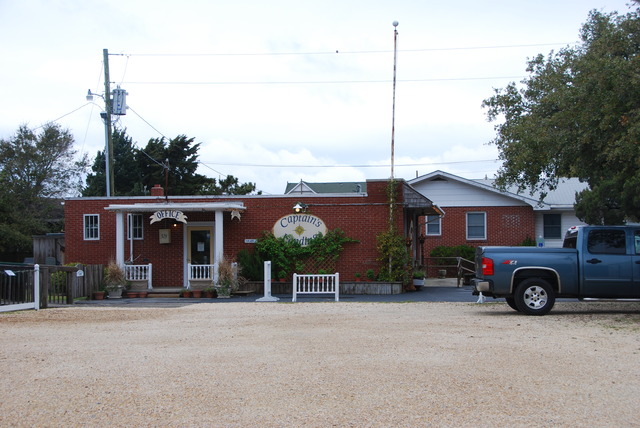
We checked in and made ourselves at home. Our accommodations were a good-sized one bedroom suite with full kitchen and 1 and ½ bathrooms. The living room and the bedroom had large picture windows overlooking the lovely harbor. They normally rented by the week, but during the off-season they rented their apartments nightly. We decided that this would be a perfect place to stay for a week to rest and relax, far away and cut off from the rest of the world.
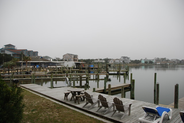
The View From The Captain’s Landing

Several menus from local restaurants were left in the kitchen for guests to choose from. We picked Howard’s Pub and drove there for dinner. It was drizzling when we arrived at the restaurant. Howard’s was a fun place which was decorated with neon beer signs, college pennants, and license plates and stickers from all over the U.S.  Bouncy Caribbean music was playing loudly. The menu stated that they served 200 different kinds of beer.  I had North Carolina crab cakes and pear cider.  Yum!
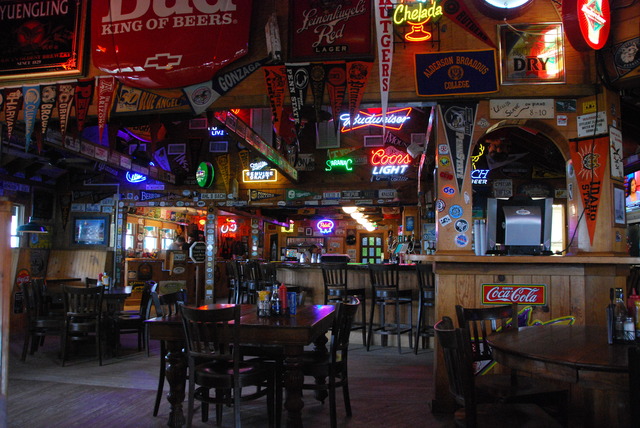
Interior of Howard’s Pub

It was foggy and raining lightly when we left Howard’s Pub and we made it back to the Captain’s Landing just before the heavy rains started. I cranked up the thermostat to 74 degrees and we watched satellite television. There was still “no service” on our computers and phones.  We were on a remote stormy island, cut off from the rest of the world.  It poured most of the night, but it was so peaceful and quiet that I slept for 10 straight hours.

Spring Rain

March 30th, 2011

Road Trip – Day 3 Wednesday, March 30th

We enjoyed a pleasant night in Virginia Beach and wondered if the resort was over-crowded in the summer. We enjoyed the Residence Inn’s free breakfast and checked out about 10:30. It was a pleasant drive south along Atlantic Avenue and then west across the bridge on Route 149. The weather forecast predicted rain for the next two days, so we debated the options. The Outer Banks and Cape Hatteras were exposed to the elements and were really outdoor places to visit. Neither of us wanted to “bail out” now, so we proceeded with our original plan to follow the coastal route south. We decided to go to the Outer Banks despite the gentle rain that was falling on the windshield. There was a more “interesting” route on the map, but it involved another ferry ride and we decided it would not be much fun in the rain.

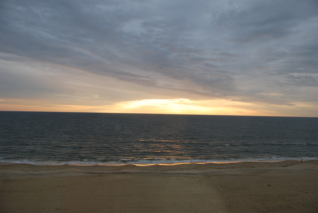
Sunrise Over the Atlantic

Our journey continued on Princess Anne Road which went through a suburban area for about half an hour all the way to Route 168 South. We crossed into North Carolina just north of a village called Moyock. There was a Welcome Center at the side of the road and we stopped for a map of North Carolina. Armed with maps, printed information, and freebies, we continued south to Kitty Hawk on the Outer Banks of North Carolina. We drove across the narrow bridge over the wide Intercoastal Waterway and onto the barrier island.

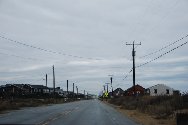
Desolate Beach Community

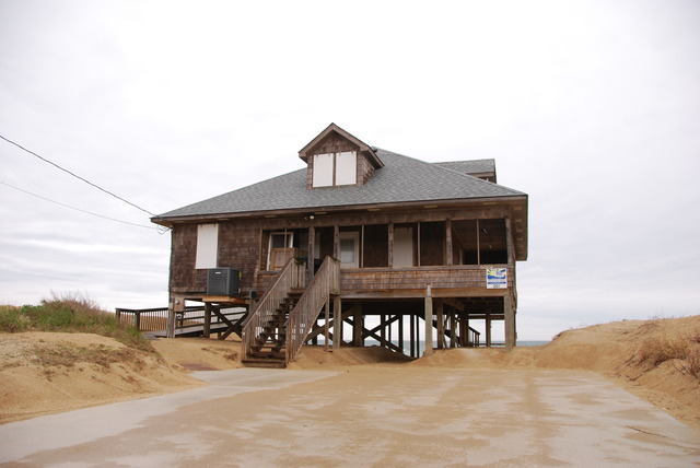
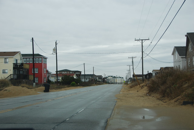
Here was another “beach community” but not like the other colonies we saw in New Jersey, Delaware, or Maryland. The houses were smaller and all of them were on stilts. They were not freshly painted, but were covered by dark “weathered” brown boards. The houses along the Atlantic Ocean side were nestled in the sand and seemed to be part of the sand bars, like driftwood cast along the high-water line on the beach. We wondered how the houses survived the constant winds and storms and hurricanes of this region.

A Beach House Overlooking the Atlantic

After another web-search of local hotels, we settled on a Hilton Garden Inn just north of Kitty Hawk. It was a clean and comfortable high-rise hotel located on the beach. Our room had a side-ways view of the sand and surf.

The weather deteriorated as the day progressed. By the time we were ready for lunch, rain was falling heavily. Jeff found a North Carolina bar-b-que restaurant across the street from the hotel and we drove there in the pouring rain. The lunch special at High Cotton was $5.99 for a meat entrée (pork or chicken), hush puppies, and two sides. The most interesting choices of sides were: chicken & pastry, collard greens, and Brunswick stew. Jeff quickly looked up the stew on his iPhone so we knew what it was.

North Virginia Dare Trail

According to Wikipedia, Brunswick stew is a traditional southeastern dish made up of a variety of vegetables (okra, corn, lima beans, tomatoes, etc) and meat: squirrel, rabbit, chicken, etc. I ordered it anyway. It was a veggie stew with a few chunks of meat. I didn’t ask what kind of meat! I thought since there weren’t many trees in the Outer Banks there probably weren’t too many squirrels. Jeff said it tasted like ‘possum. But what does he know? He’s a city boy from NY.

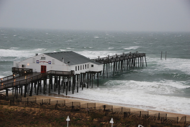
Life Saving Station

After lunch, I suggested that we take a ride north to Duck, North Carolina. It was raining very hard by this time and it was quite windy. The temperature had reached 44 degrees, so it was still cold. We drove for a little while, but then decided to return to the hotel to stay dry and warm. We hunkered down for the night, listening to the rain and wind, and were glad that we weren’t camping.